
Why go
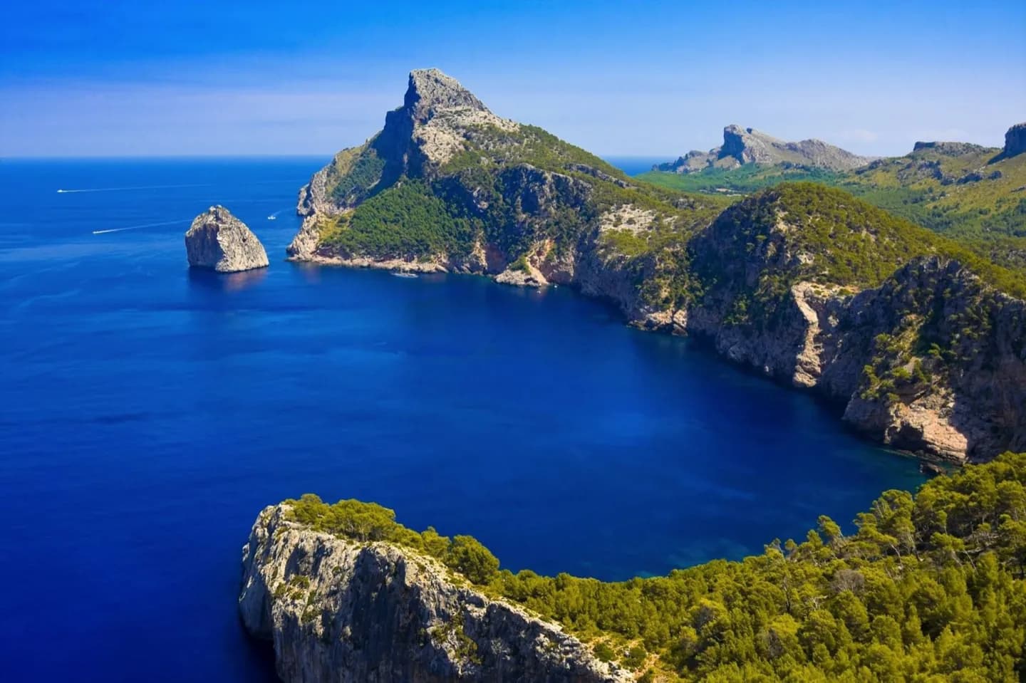
Understanding the terrain prevents unrealistic itineraries. The Tramuntana rewards slow mountain drives and walks, the Pla links inland market towns, and the eastern coast combines limestone caves, low hills and coves reached by branching local roads. Use Understanding Mallorca's Landscapes for a wider comparison. Let Understanding Mallorca's Landscapes show how local terrain works; Understanding Mallorca's Landscapes also shows how history shapes Understanding Mallorca's Landscapes today.
The full story
Two mountain systems frame Mallorca. The Serra de Tramuntana runs along the northwest, where steep slopes fall toward coves and headlands. Its villages occupy valleys and terraces shaped by generations of stonework and water management. The lower Serres de Llevant define parts of the east, where limestone has also produced major cave systems. Between them lies the Pla, an agricultural plain of fields, orchards and market towns. This structure affects nearly every journey: roads through the Tramuntana bend around ravines, while routes across the center are straighter and faster. The coastline changes with the geology, from long sandy stretches in the south and north to rocky calas in the east and abrupt cliffs around Formentor and Sa Calobra. Understanding Mallorca's Landscapes rewards comparison nearby. Around Understanding Mallorca's Landscapes, geography explains movement. Within Understanding Mallorca's Landscapes, materials reveal changing use. Read Understanding Mallorca's Landscapes beside its surroundings. This keeps Understanding Mallorca's Landscapes tied to Mallorca; Understanding Mallorca's Landscapes then supports clearer regional planning.