
Why go
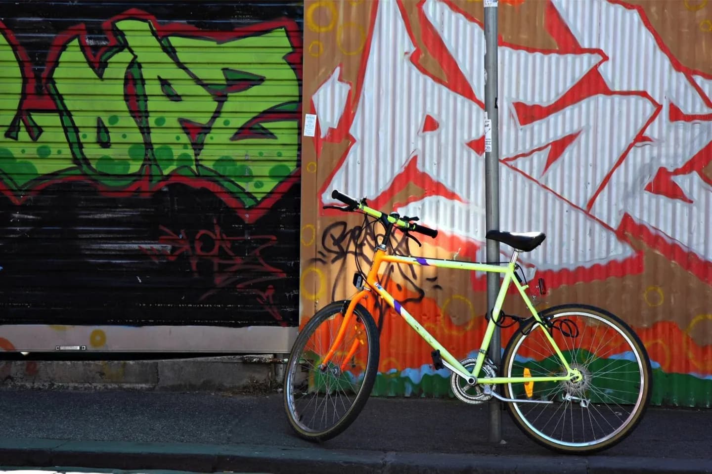
A bicycle opens longer green routes along the Yarra, Merri Creek and Darebin Creek and can connect parks more naturally than a sequence of short transit trips. The experience changes sharply between separated waterside paths and complex central streets, so route choice, confidence and a planned return matter more than raw distance.
The full story
Melbourne's cycling experience varies sharply by location. Shared paths along waterways and through parkland can feel removed from traffic, even when they pass through densely settled suburbs. The Yarra corridor links central landscapes with longer eastern routes, while Merri Creek and Darebin Creek form green north-south spines with numerous access points. Central and inner-suburban streets are more complex: tram tracks, parked cars, intersections and discontinuous lanes require attention. A useful ride therefore starts with the desired experience rather than the shortest line on a map. Pick a corridor, identify safe access and exit points, and allow for walkers on shared paths. Rules, temporary closures and bicycle-carriage conditions on public transport can change, so confirm them through current official guidance. Creek trails are linear journeys; decide in advance whether to return the same way or connect to a station.
Useful to know
- Choose separated paths or quieter streets when possible.
- Check current path closures and detours before a creek or river ride.
- Plan a secure place to leave the bicycle at museums or indoor stops.