
Why go
A simple mental map saves time and makes the city's contrasts easier to read. The CBD contains many headline sights, the Yarra separates it from Southbank and the arts precinct, and short public-transport trips open Carlton, Fitzroy, St Kilda and other areas with their own character. Understanding those relationships also prevents distant neighbourhoods from being mistaken for quick central detours.
The full story
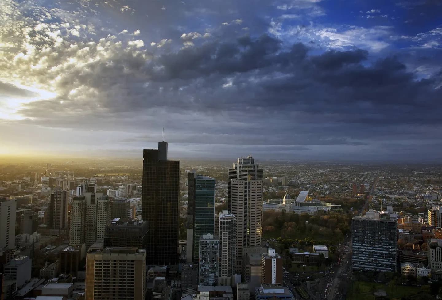
Start with the Central Business District, usually shortened to the CBD. Its regular street grid runs north from the Yarra River, with Flinders Street Station and Federation Square forming a useful southern gateway. Southbank and the arts precinct face the centre across the river, while the Melbourne Cricket Ground and major gardens lie to the east. Carlton begins north of the grid, and Docklands extends west toward Victoria Harbour. Greater Melbourne spreads much farther around Port Phillip and into broad eastern and western suburbs, so a place described as Melbourne may be well beyond walking distance from the centre. This geography shapes a sensible visit: explore the CBD's arcades and lanes on foot, cross the river for galleries and views, and treat neighbourhoods or bayside stops as separate outings. Trams help connect these zones, but distance and service patterns still matter.