
Why go
Understanding the network makes neighbourhoods, museums, sporting venues and bayside areas practical without a car. The key is to plan by corridor, confirm current fares and service changes, and avoid using transit for very short central hops. Knowing the different roles of trains, trams and buses also helps anticipate transfers instead of treating the map as one interchangeable system.
The full story
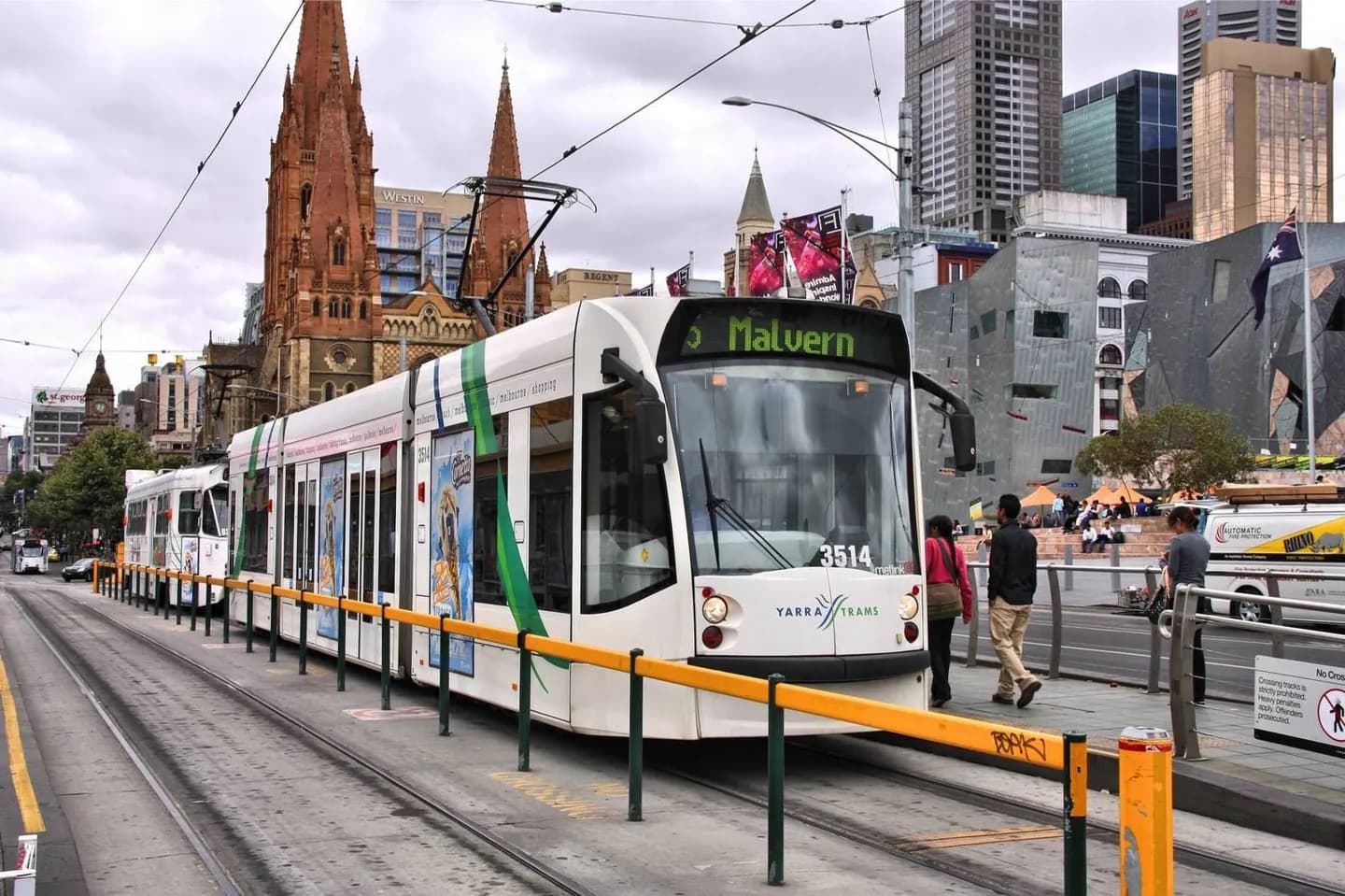
Melbourne's transport geography reflects the city's growth along radial railways and an extensive tram network. Trains are useful for longer trips between the centre and suburban corridors. Trams provide dense coverage in the CBD and many inner neighbourhoods, while buses fill gaps and reach areas without rail or tram service. A route that looks short on a map may still require a change because lines are organised around corridors rather than every possible cross-town journey. Stops and stations also use local destination names that are easier to follow once you know the neighbourhood. Ticketing, fares, accessibility and disruption details are operational facts and should be checked through the official transport service before travel. For sightseeing, group nearby places first, then use transit for the larger jump between districts. This reduces waiting and makes the street-level character of central Melbourne easier to appreciate.
Useful to know
- Check the official journey planner for current routes, disruptions and fare rules.
- Allow extra time when a trip requires changing between modes.
- Walk within compact CBD clusters instead of repeatedly boarding for one or two blocks.