
Why go
Walking reveals the small transitions that define the centre: an arcade opening into a lane, bluestone beside glass towers, and civic buildings aligned across the grid. It is also often faster than waiting for short transit hops. Grouping sights by the river, northern market area or arts precinct keeps the distances comfortable and makes those street-level details easier to notice.
The full story
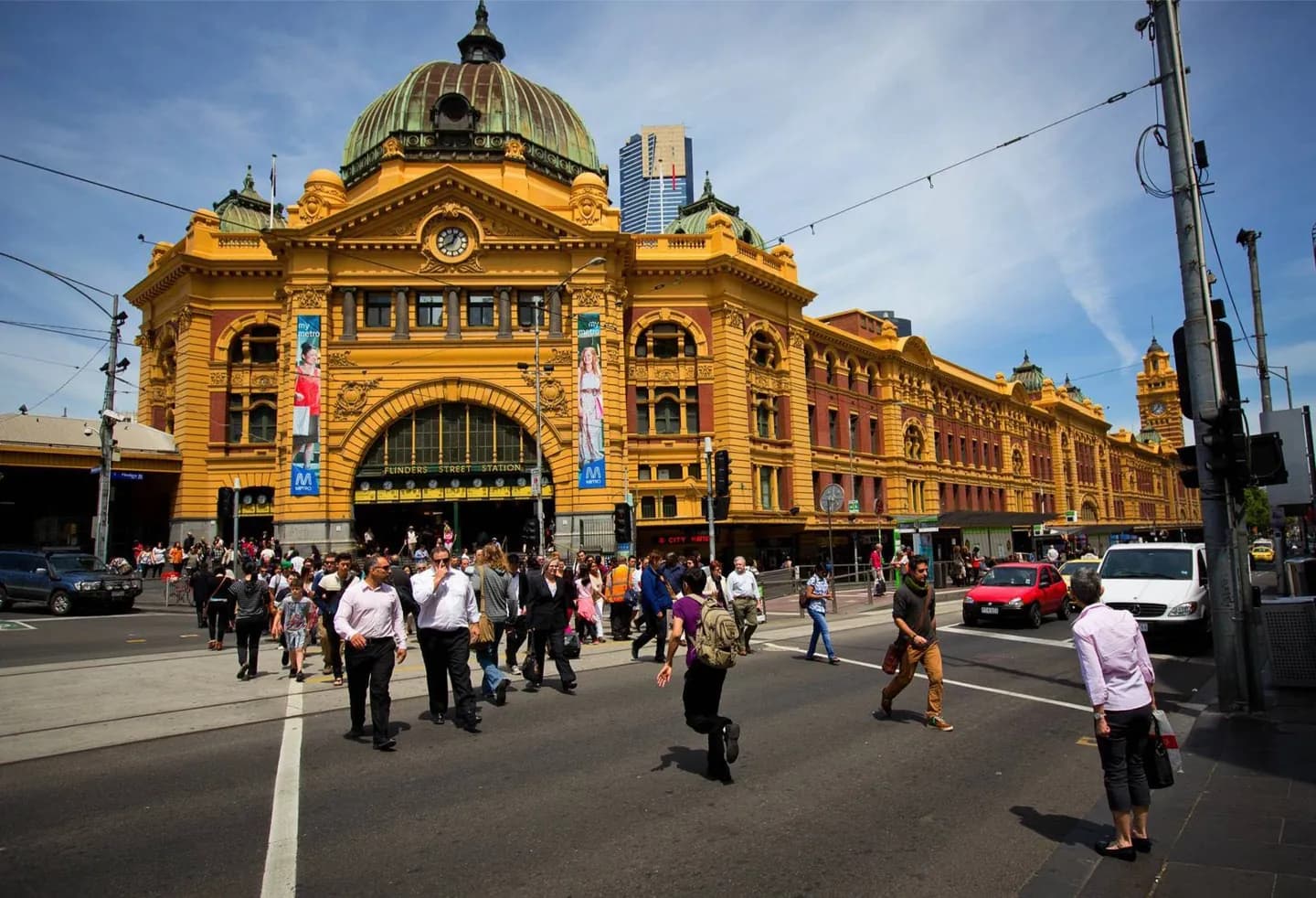
Central Melbourne is structured by the Hoddle Grid, a regular street plan softened by smaller lanes and arcades. Swanston Street provides a strong north-south reference, while Flinders Street follows the southern edge near the Yarra. Little streets alternate with the main east-west streets, and many lanes cut through blocks at a finer scale. This pattern makes exploration intuitive once you understand it, but a day can become tiring if it repeatedly crosses the full grid. Group Queen Victoria Market with northern sights, the river with Federation Square and Flinders Street Station, and Southbank with the arts precinct. Covered arcades offer shelter, though they are destinations rather than a continuous all-weather network. Pedestrian volumes rise around stations and events, and river crossings constrain movement more than the map first suggests. Comfortable shoes and a flexible sequence matter more than completing every lane.
Useful to know
- Use numbered or named cross streets to keep your position in the grid.
- Break a long north-south route with an indoor stop or covered arcade.
- Allow extra time along the river, where crossings determine the practical route.