
Why go
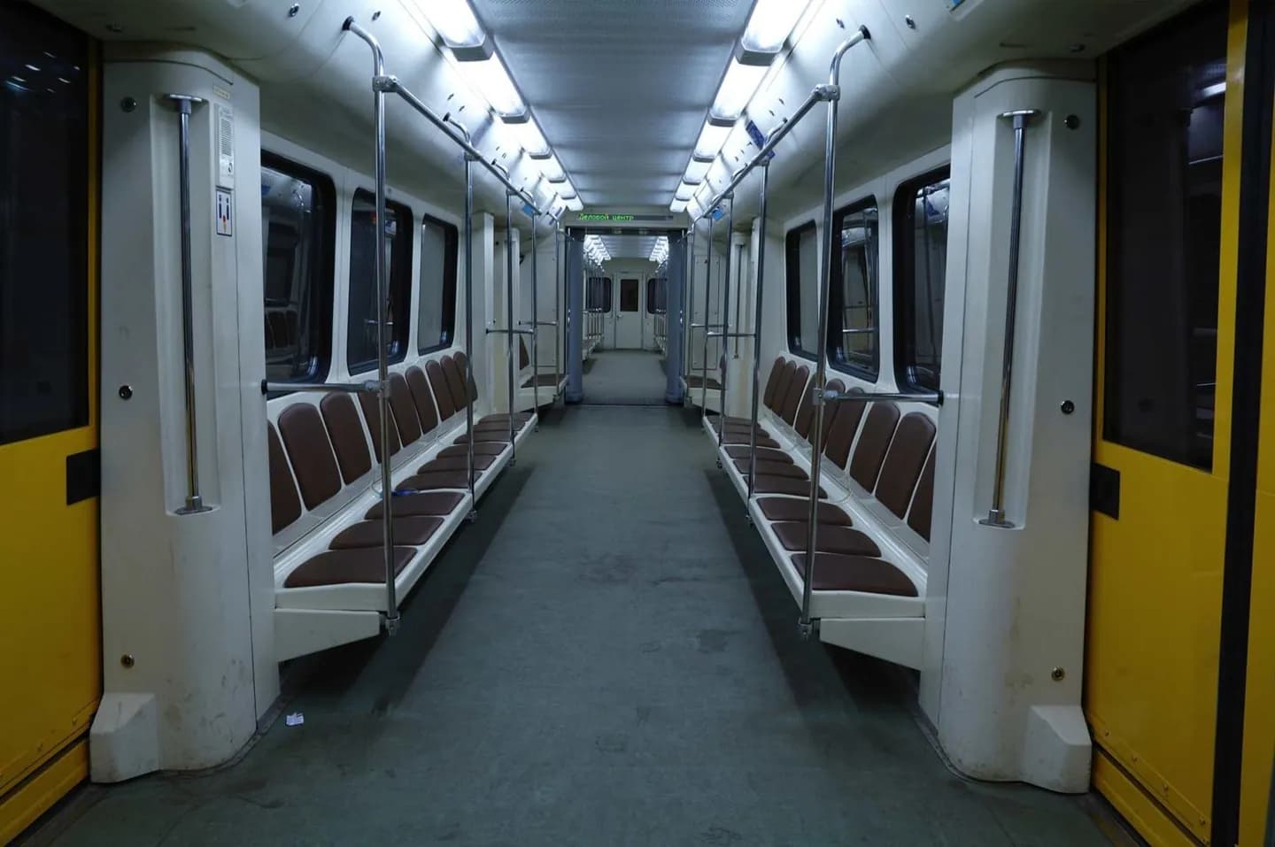
The Metro connects many widely separated districts while avoiding surface congestion, making it the backbone of an efficient sightseeing plan. Its numbered, colored lines and station symbols help with navigation even when platforms are busy. Use it for longer cross-city moves, then switch to walking or surface transit for the final approach to museums, plazas and neighborhood streets.
The full story
Mexico City's Metro opened in 1969 and expanded into one of the world's major urban rail systems. Its visual language was designed to work beyond written directions: each line has a color and each station a distinctive pictogram, often tied to local history or a nearby landmark. That system remains helpful in crowded interchanges. The network links the historic center with major bus terminals, Chapultepec, Coyoacán approaches and many residential districts, although some attractions still require a walk or surface connection. Trains can become extremely crowded during commuting periods, so travelers with flexibility gain comfort by avoiding the busiest times. Current service changes, station closures and operating hours belong to official transport information rather than fixed guide prose. Reading the line color, terminal direction and interchange symbol before boarding prevents most navigation errors.