
Why go
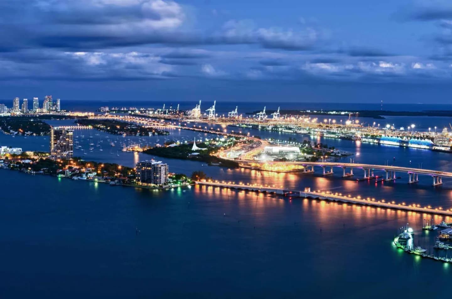
The bay explains Miami's geography better than any single building. Its northern waters meet the dense city, while the southern reach opens toward Biscayne National Park. Look for the contrast between engineered causeways, shallow blue-green water and surviving mangrove edges; together they show how urban Miami occupies an estuarine landscape.
What to look for
- The downtown skyline rising directly behind the bay
- Causeways and islands dividing broad stretches of shallow water
- Mangrove habitat toward the less-developed southern bay
Useful to know
- Choose a specific waterfront access point; the map coordinate represents a large body of water, not one entrance.
- Open-water views are exposed to sun, wind and storms, so keep the stop flexible.
Your next visit
Estimated · Declared scenario and planning estimates; no live opening, weather, queue or booking service.
Outdoor visit · 30–45 min
World planning estimate; admission, opening, visit duration and access need checking.