
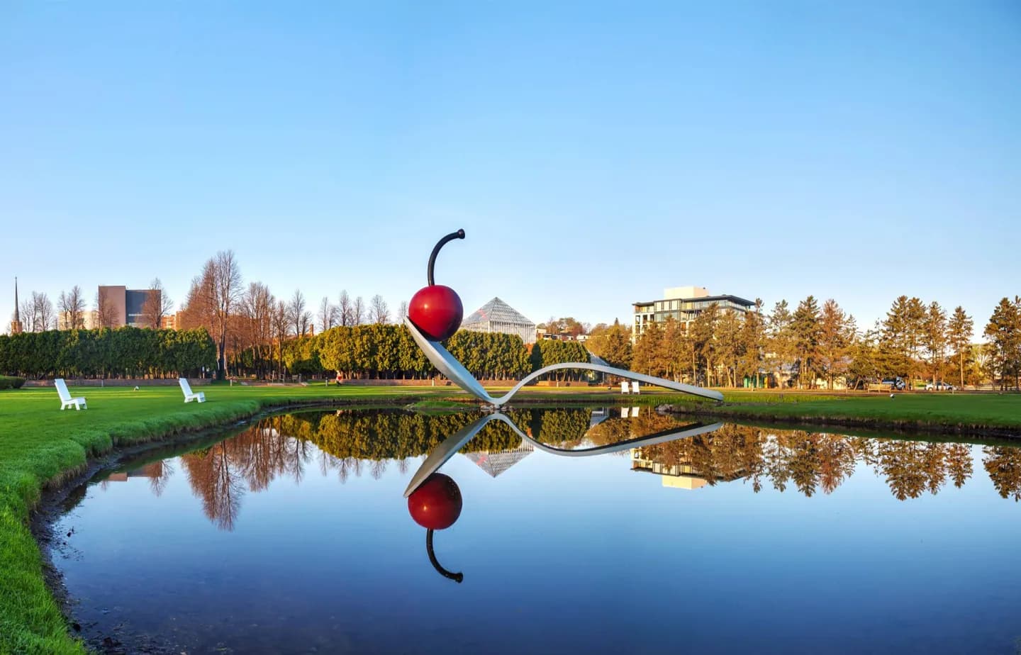
Why go
Begin with the falls and nearby mill district to understand why the city grew here. Then compare that river landscape with the Chain of Lakes or Minnehaha Park. These places reveal more than a downtown skyline can: industry, public parks and everyday recreation occupy different parts of the same city.
The full story
Minneapolis grew on both banks of the Mississippi, near Saint Anthony Falls. The falls powered sawmills and then flour mills, helping turn the city into a major center of timber and grain processing. That history remains legible in the mill district, where former industrial buildings and ruins stand close to the river. The water also shaped civic ambitions beyond industry. Parks and parkways linked lakes, creeks and the river, giving residents and visitors a way to move through green spaces across the city. Downtown became a business and cultural center, but it is only one part of Minneapolis. The east bank, west bank and lake districts have distinct settings and rewards. Saint Paul is the neighboring state capital; together the two cities anchor the Twin Cities region. Treat them as connected destinations rather than interchangeable names.