
Why go
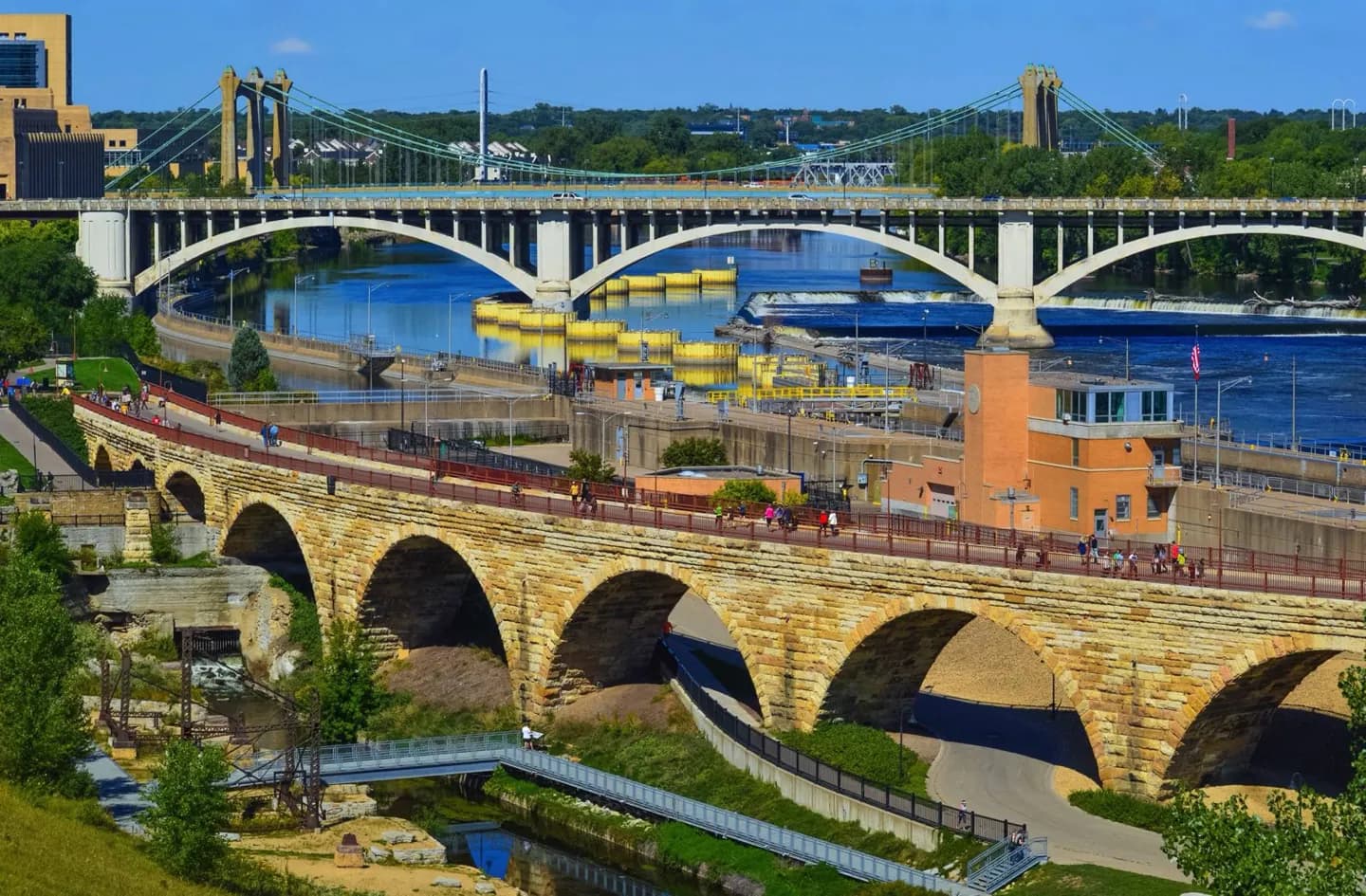
Crossing near the falls reveals the city’s early geography: Saint Anthony grew around an east-bank sawmill, while Minneapolis took shape west of the river. The Hennepin Avenue crossing tied them together before their formal union, making it a useful lens for a riverfront walk.
The full story
Franklin Steele’s sawmill helped Saint Anthony grow on the east side of Saint Anthony Falls. On the west bank, John H. Stevens laid out the Minneapolis townsite, with Washington Avenue following the river. The early grids responded to the water rather than to a single tidy north–south plan. A suspension bridge at Hennepin Avenue opened in the 1850s, giving the settlements a full-width crossing of the Mississippi. Saint Anthony was recognized as a town in 1855 and Minneapolis in 1856. Minneapolis incorporated as a city in 1867, and the two joined in 1872. Sawmills, grist mills and transport links made the area attractive to settlers, but that growth followed the dispossession of Dakota communities. The surviving street angles and river crossings help visitors see two formerly separate towns within today’s city.