
Why go
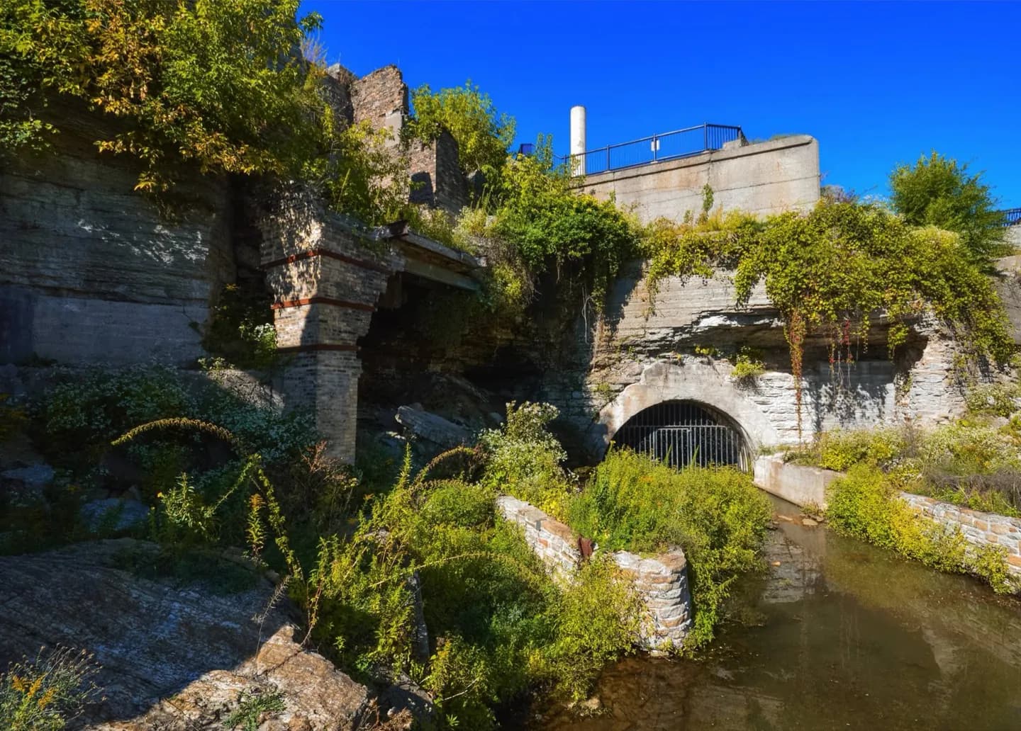
Mill foundations, waterpower channels and railroad piers sit beside the Mississippi. Signs connect the ruins to the falls that powered the mills. Pair the park with Mill City Museum for an indoor account of the industry, or the Stone Arch Bridge for a wider view of the river.
What to look for
- Exposed mill foundations show the footprint of the former flour district.
- The waterpower canal and tailraces reveal how river water moved through the mills.
- Stone and iron piers recall a railroad trestle across the industrial site.
The full story
The ruins survived because road planning prompted archaeological work along the west bank of the Mississippi. Surveys in the 1980s found foundations and parts of the waterpower system beneath later ground surfaces. In the 1990s, the aim shifted from documenting what construction might destroy to exposing parts of the milling district for visitors. Excavation for the park began in 1998 and continued into the next decade. The nearby Washburn A Mill, damaged by fire in 1991, was stabilized and became part of Mill City Museum. Together, the park and museum show two sides of the same industry: the outdoor channels and foundations that carried power through the district, and the mill building where grain became flour. Watch for the former railroad piers as well. They show that moving finished flour away was as important to this riverfront as drawing power from the falls.
Useful to know
- Check the park's construction notice before using the lower ruins; its current entrance does not provide through access.
- Allow time to read the signs, then connect the outdoor ruins with Mill City Museum or the Stone Arch Bridge.
Your next visit
Estimated · Declared scenario and planning estimates; no live opening, weather, queue or booking service.
Outdoor visit · 20–45 min
World planning estimate; admission, opening, visit duration and access need checking.