
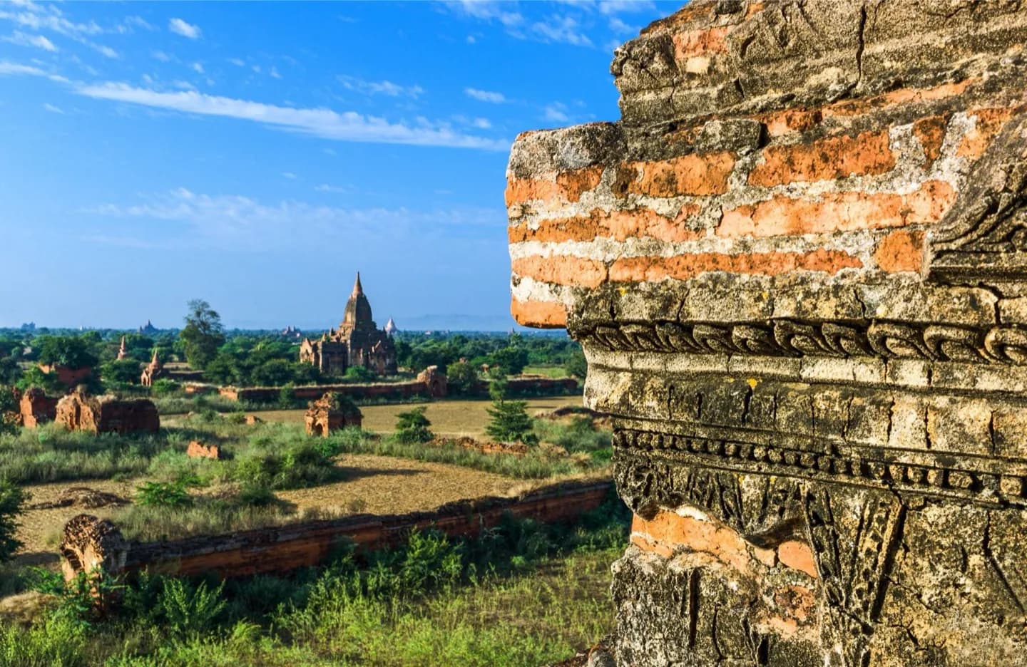
Why go
The Ayeyarwady valley forms a central corridor between the Rakhine ranges and Shan Plateau. The Thanlwin and Sittaung rivers drain other parts of the country, while northern highlands rise toward the Himalayan region. To the west and south, the coast opens to the Bay of Bengal and Andaman Sea. These features help place Bagan, Pyay, Mrauk U and Pathein on a mental map.
The full story
Myanmar’s shape is long and varied. Northern highlands meet the borders with India and China, while the Rakhine ranges stand between the central river basin and the Bay of Bengal. To the east, the Shan Plateau and other uplands lead toward Laos and Thailand. The Ayeyarwady runs through the broad central corridor, passing places such as Bagan and Pyay before its delta reaches the sea near Pathein. The Thanlwin and Sittaung are other major river systems. West of the ranges, Mrauk U belongs to the wetter Rakhine landscape rather than the central dry zone. The southern coast faces the Andaman Sea. These features help explain why a journey across Myanmar is not one continuous plain: rivers, mountains and coastal weather shape routes, agriculture and the character of towns.