
Why go
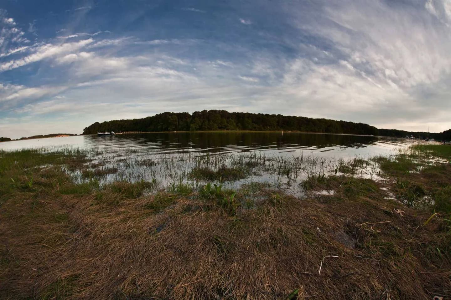
Geography is not background here. Levees hide the river from many streets, low ground depends on pumps and drainage, and humid weather can change walking pace within an hour. Reading the city through water and elevation clarifies its layout while helping you choose safer, more comfortable days.
The full story
The oldest parts of New Orleans occupy natural levees beside the Mississippi, while later neighborhoods spread into lower ground toward Lake Pontchartrain. Human-built levees, canals and pumps made that expansion possible and also shaped the city’s relationship with water. From the French Quarter, climbing the levee reveals a river that can sit visually above nearby streets. Farther north, broad canals and subtle changes in elevation become part of the urban landscape. Summers are long, hot and humid, with frequent thunderstorms that can produce intense rain in a short period. Tropical storms and hurricanes are a seasonal risk, especially from summer into autumn. Winters are generally mild but can turn damp and cool. Plan outdoor walking early, keep indoor alternatives nearby, and follow official weather and emergency guidance whenever severe conditions are possible.