
Why go
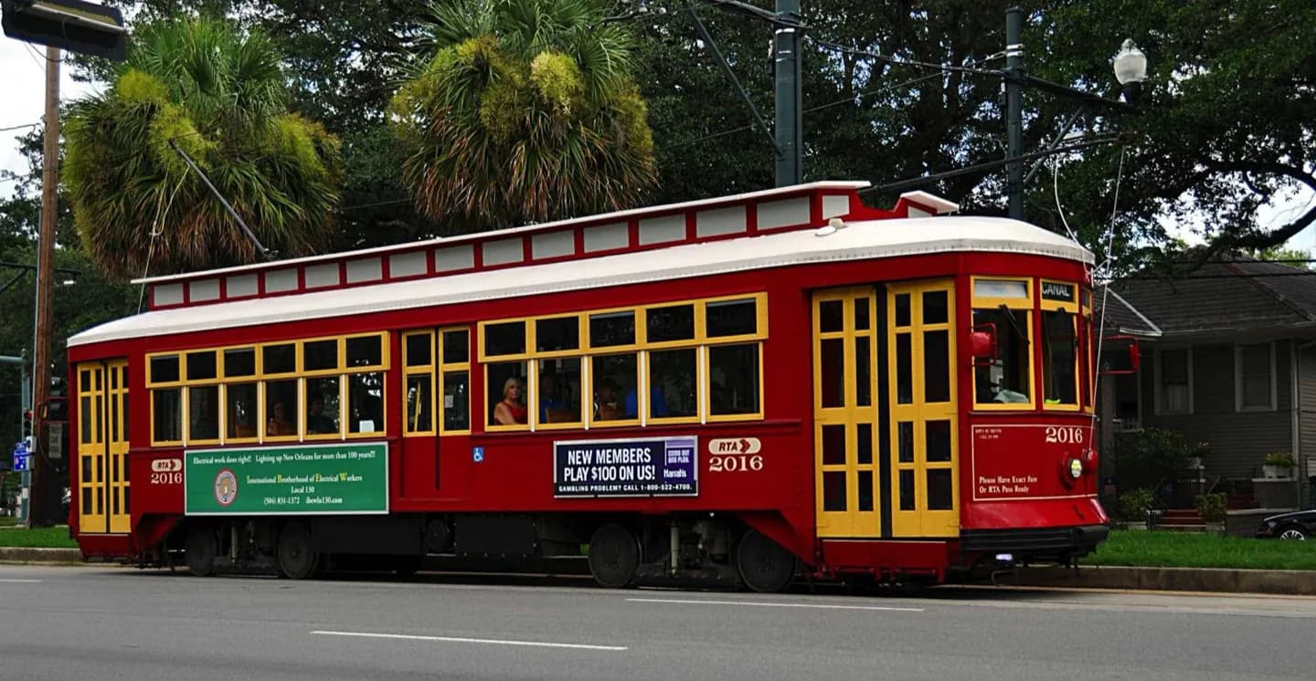
Ride to understand the city’s long corridors rather than simply to collect a historic vehicle experience. St. Charles reveals live oaks, houses and campuses; Canal connects downtown with Mid-City branches. The journey is most useful when a real destination anchors the far end and extra travel time is acceptable.
The full story
Streetcars have served New Orleans since the 19th century, and the St. Charles line is central to the system’s historic identity. Its green cars travel from downtown along an oak-lined avenue through the Garden District and Uptown, passing universities and Audubon Park. Canal Street services use a broad downtown neutral ground before branching toward Mid-City destinations. Riverfront service covers a shorter corridor near the Mississippi. These are working transit lines, not timed tour vehicles. Stops, detours, crowding and accessibility vary by line and car. Check the Regional Transit Authority’s current map and service alerts, then choose a segment tied to a place you already plan to visit. Board with enough time for a leisurely pace, move clear of doors, and never walk or cycle casually across tracks without checking traffic in both directions.