
Why go
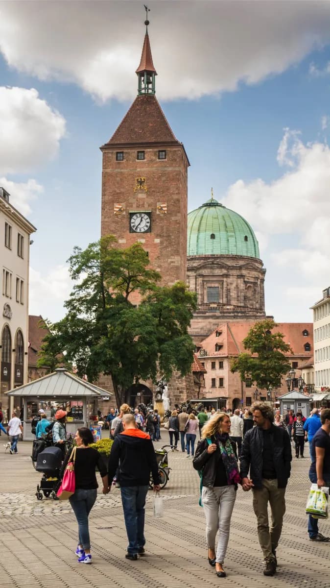
Nuremberg’s old town is easier to understand on foot: the Pegnitz separates the Lorenzer and Sebalder halves, and many landmark streets connect through the center. Local transit becomes useful for the airport, sights beyond the walls or a trip to neighboring Fürth. Check current routes and tickets before a longer journey.
The full story
The old town is divided by the Pegnitz. South of the river, the Lorenzer side contains St. Lorenz and streets leading toward Nürnberg Hauptbahnhof. North of it, the Sebalder side leads past Hauptmarkt toward St. Sebald and the Imperial Castle. Walking across the center makes these relationships much clearer than a string of short vehicle trips. Nürnberg Hauptbahnhof is the useful reference point for public transport. U-Bahn lines, trams and buses serve city journeys, while S-Bahn and regional trains connect places farther afield, including nearby Fürth. The airport has its own U-Bahn connection. Which service is best depends on the exact destination, so consult a current network map and timetable rather than memorizing line lists. The old town’s streets and gates make a car awkward for short trips across its center. If your day is mainly St. Lorenz, Hauptmarkt, St. Sebald and the castle, plan it as a walk. Use transit when the next stop is outside that compact area or when you need to return to the station.
Useful to know
- Walk between St. Lorenz, Hauptmarkt and St. Sebald to keep the old town’s geography clear.
- Use the U-Bahn, tram or bus for destinations beyond the central cluster; check the current route from Nürnberg Hauptbahnhof.
- For trips beyond the city, compare S-Bahn or regional rail services with the local transit route.