
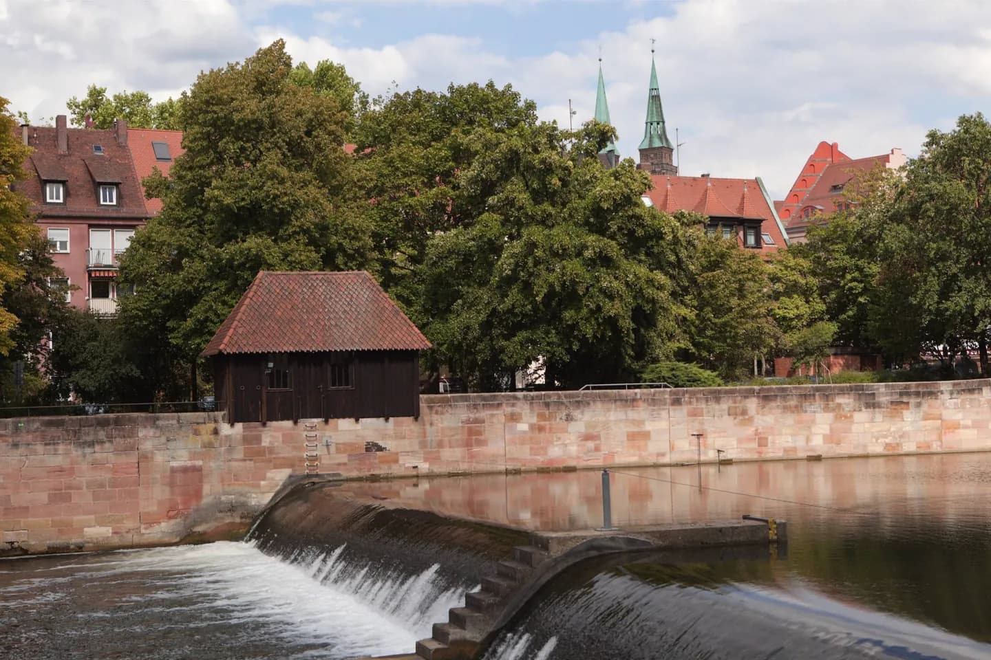
Why go
The old center is only one part of Nuremberg. Former villages such as Kraftshof and Neunhof lie to the northwest, while Langwasser is a modern district farther from the medieval core. This wider map matters when choosing between a central walking day and a trip into another district.
The full story
Nuremberg sits on the Pegnitz, but its present city boundary includes places with quite different histories and layouts. Several former villages became part of the city. Großgründlach, Kraftshof, Thon, and Neunhof lie toward the northwest; Ziegelstein is to the northeast, and Altenfurt and Fischbach are to the southeast. Langwasser developed as a modern district rather than as another old village. These names help explain why an address in Nuremberg may be well outside the streets around the Imperial Castle. The local climate also shapes a visit. Winters can be mild or cold, while summers are generally warm; rain is possible through the year. For a day built around the old center, an outdoor walk can connect sites closely. For a place in an outer district, check its position on the map and the transport route first. In either case, leave room to move an exposed stop if the day's weather makes it unpleasant.