
Why go
Understanding the geography helps you pair stops that are genuinely close. Downtown Lake Eola, the International Drive corridor and Walt Disney World southwest of the city are distinct areas, even when they share an Orlando address in travel marketing. That distinction changes how you plan transfers and nearby combinations.
What to look for
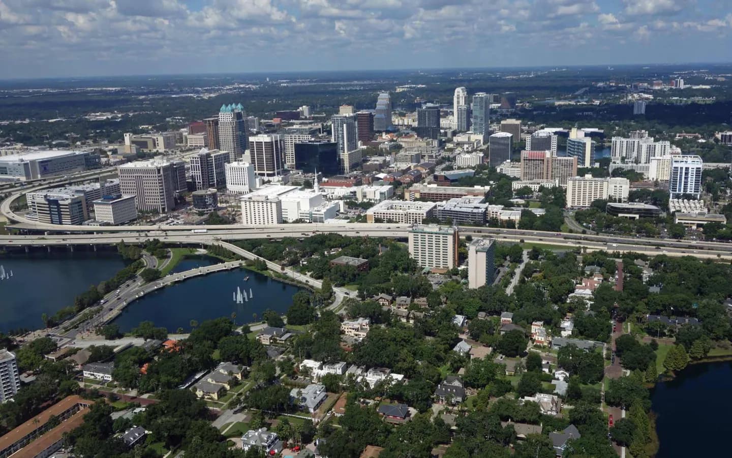
- Lake Eola places water at the center of downtown.
- The wider landscape includes many lakes and wetlands.
- Orlando’s city limits have an irregular pattern beside unincorporated Orange County.
The full story
Central Florida’s low, flat ground and many lakes give Orlando a different shape from a compact city built around one center. Wetlands and swamps are part of the surrounding landscape. Lake Apopka is the largest lake mentioned in the older geographic account, while Lake Eola is the water feature most closely tied to downtown. Porous limestone beneath the region also makes sinkholes a real part of its geography; a well-known collapse occurred in nearby Winter Park in 1981. The city limits themselves are uneven, with pockets of unincorporated Orange County among incorporated areas. That helps explain why a place described as “Orlando” may not lie inside the city. Walt Disney World, for example, is southwest of downtown around Bay Lake and Lake Buena Vista. For visitors, the result is simple: judge distances by the actual district, not the destination name alone.
Useful to know
- Check the actual location of a park or hotel before planning a downtown stop on the same day.