
Why go
A bicycle can connect Bjørvika, the harbour and western districts efficiently while keeping distances manageable. It is less comfortable on steep or traffic-heavy streets, so a route planner matters more than straight-line distance. Cycling in Oslo clarifies which connection serves Cycling in Oslo, which detail defines Cycling in Oslo, and which transport choice keeps Cycling in Oslo coherent in a full day.
The full story
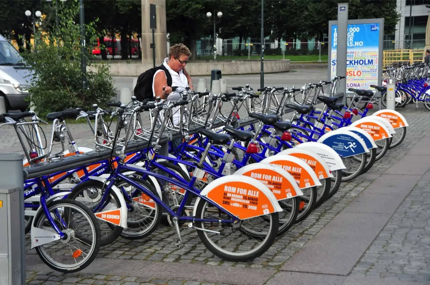
Oslo has expanded its cycle infrastructure, with useful corridors through the center, along the waterfront and toward residential districts. The city's geography still demands attention: routes can climb quickly away from the fjord, tram tracks cross some streets, and winter snow or ice changes what is practical. Use a current cycling map or journey planner rather than assuming the walking route is also the best bicycle line. Cross tram rails at a clear angle, watch for pedestrians on shared paths and secure the bike at formal parking where possible. Public bike schemes and rental operators change by season, so check availability immediately before relying on one. For a gentle ride, waterfront sections provide the clearest orientation; trips toward the hills or forest edge require more time and effort.
Useful to know
- Choose a mapped cycle route and account for hills before setting out.
- Cross tram rails carefully and reassess the plan in snow, ice or heavy rain.