
Why go
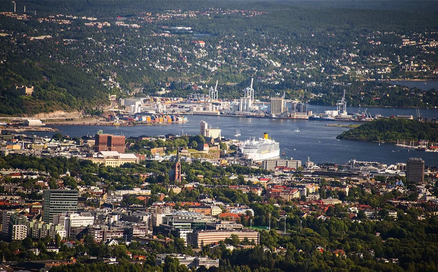
Understanding the city's shape makes each day easier to plan. Karl Johans gate joins the station, parliament and palace, the harbour links City Hall with Akershus and Bjørvika, while Bygdøy gathers major museums on a separate peninsula. How Oslo Fits Together clarifies which connection serves How Oslo Fits Together, which detail defines How Oslo Fits Together, and which transport choice keeps How Oslo Fits Together coherent in a full day.
The full story
Oslo grew at the head of its fjord, where water routes, a sheltered harbour and surrounding hills shaped both trade and settlement. The center remains readable through a few strong lines. Karl Johans gate runs between Oslo Central Station and the Royal Palace, passing the cathedral, parliament and National Theatre. South of that axis, the waterfront connects City Hall, Akershus Fortress and the contemporary buildings of Bjørvika. West of the center, Frogner Park and the Vigeland installation form a large green destination. Bygdøy sits farther southwest as a wooded museum peninsula, so it deserves a deliberate half-day rather than a quick detour. North of the central grid, St. Hanshaugen and Old Aker Church introduce hillier residential Oslo. Use these areas as clusters: the city is compact, but crossing repeatedly between them wastes the advantage of its clear geography.