
Why go
A good transport plan helps connect the old quarter, Panamá Viejo and canal-side places without treating them as one walkable center. The Metro can cover parts of the urban corridor; road travel is often needed for the final stretch to a specific historic or canal viewpoint.
The full story
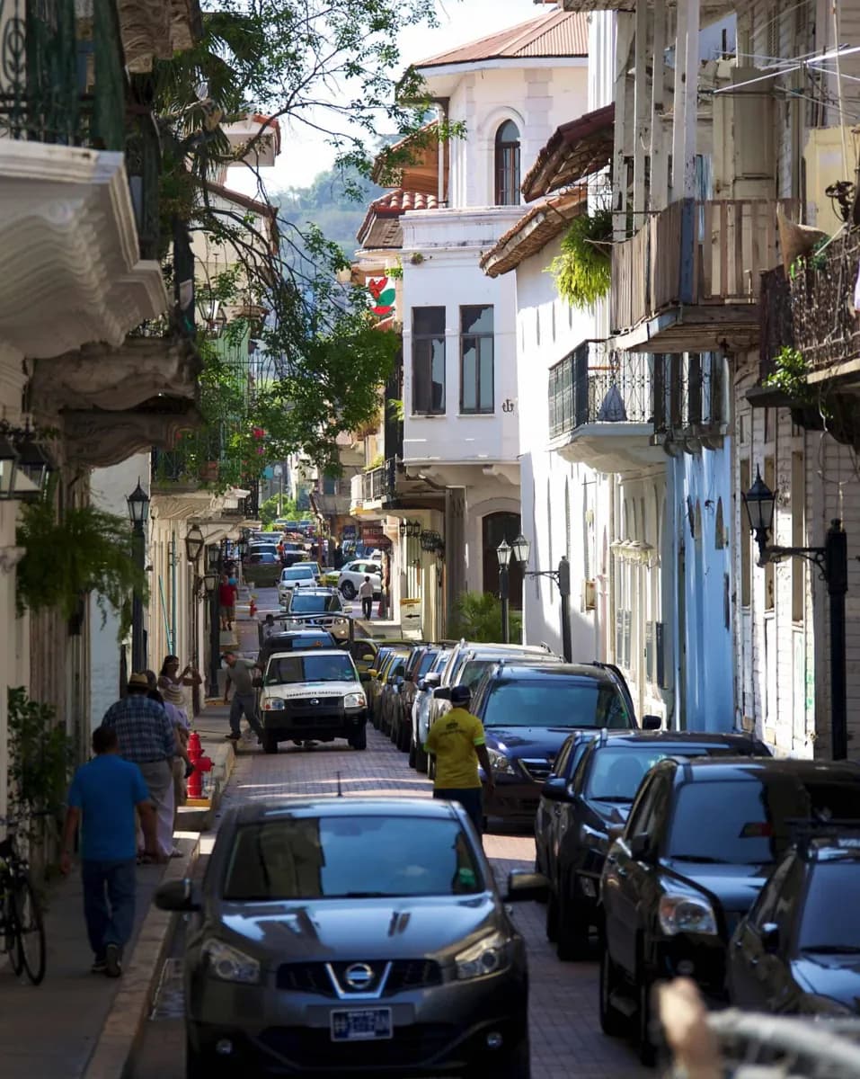
The city's transport geography follows its position at the Pacific end of the canal. Balboa developed as a port area near the waterway, and the Bridge of the Americas crosses the canal west of the central city. These are useful orientation points when reading a map, but neither makes the capital a compact pedestrian destination. Panama City's Metro provides an urban rail spine, with buses and roads extending the reach of a trip. The practical choice depends on the exact stop: a station may take you toward a district, while the last part of a visit to ruins, an old-town street or a canal viewpoint may still call for another connection. The railway across the isthmus serves a different purpose from the Metro, so it should not be assumed to be a routine city transit line. Keep the historic sites distinct when planning. Panamá Viejo is the original settlement site; Casco Viejo is the later peninsula district. A route between them crosses the city rather than a single old-town neighborhood.
Useful to know
- Check the current Metro and bus maps before choosing a route to a specific sight.
- Plan a separate transfer for Panamá Viejo, Casco Viejo and canal-side stops.
- Check current airport and long-distance rail services directly before travel.