Saved in this browser, on this device. Shared across the nine languages.
Loading your Panama City…
From the Panama City World / Areas
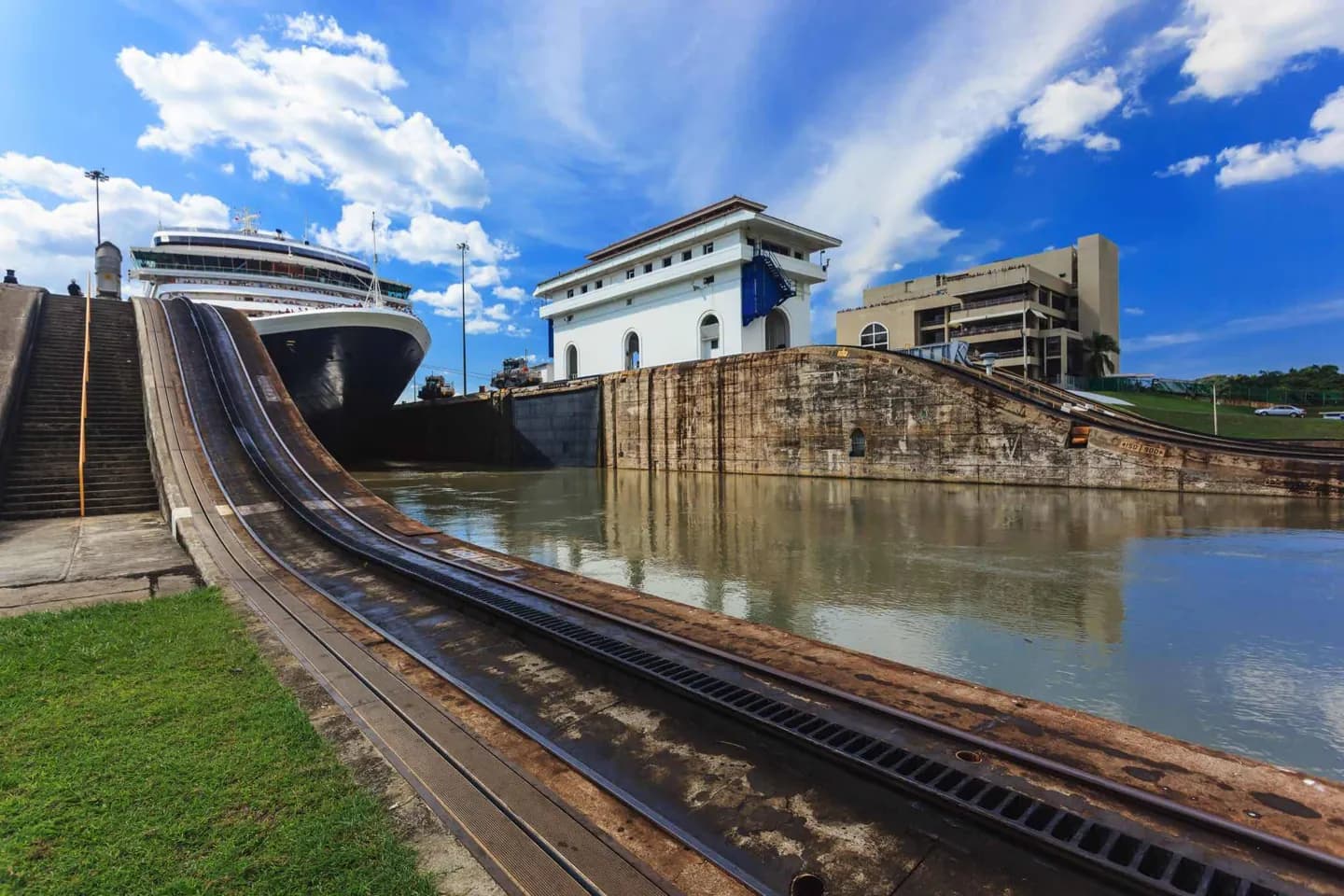
Panama Canal and Its City-Side Landscapes
The Panama Canal is a water route through the isthmus, but around Panama City it is also a landscape of locks, port areas, crossings, lake water and forest.
Panama City / Your next move
Bring this chapter to life.
Keep exploring Panama City with our travel partners.
A canal visit makes more sense when the waterway is seen as a connected system. The Pacific entrance lies near Panama City, while the Chagres watershed and Gatun Lake explain how ships cross the interior. Balboa and the Bridge of the Americas add the urban edge.
What to look for
The Pacific entrance links the canal to Panama City's waterfront setting.
Gatun Lake forms a major inland part of the transit route.
The Chagres watershed and surrounding forest help supply canal water.
Useful to know
Choose a specific canal viewpoint or visitor site before planning transport.
Pair a canal visit with a look at the surrounding forest or Balboa to understand its setting.
Photo gallery 1
Original World content and translations, shown as supplied. Practical information may need updating.
Panama City / Tours & Travel
My day 00
Collect a few stops, adjust the time and put them in an order that works for you.
Saved in this browser, on this device. Shared across the nine languages.
Panama City, in sync.
My plans changed
Tell this moment what changed above. I will offer a new draft of My day, keeping what fits in order.