
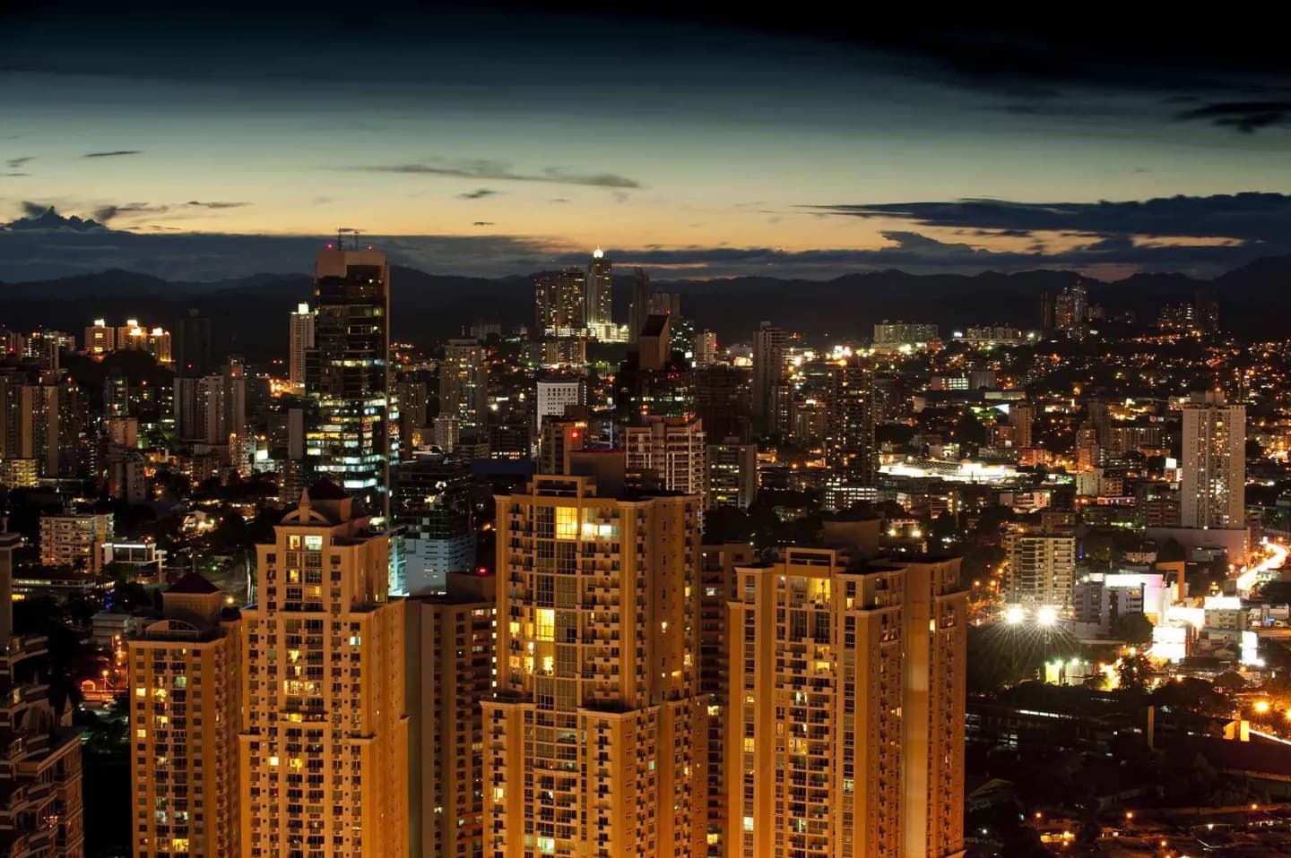
Why go
The geography explains a useful contrast: the waterfront and skyline sit close to forested canal landscapes. Looking beyond the locks toward Gatun Lake and the Chagres watershed makes the canal's dependence on water and surrounding land easier to grasp during a visit.
The full story
Panama City occupies the Pacific side of the isthmus, but the canal is more than a channel cut through the coast. The Río Chagres was dammed to form Gatun Lake, a substantial part of the route ships cross between the locks. Rain falling across the surrounding watershed helps maintain the water system on which that passage depends. This is why the forests around the canal matter to its operation as well as to wildlife. The landscape changes quickly around the capital. Metropolitan Natural Park brings forest close to the built-up city, while Soberanía National Park follows the canal's western side and includes Pipeline Road, known for birdwatching. These places show the green setting behind a skyline often photographed from the Pacific shore. A forest visit and a canal visit answer different questions, but together they make the city's position on the isthmus much clearer. The wet and dry seasons affect outdoor plans. Exposed ruins, waterfront walks and forest trails each respond differently to rain and heat, so the setting should shape the order of a day.