
Why go
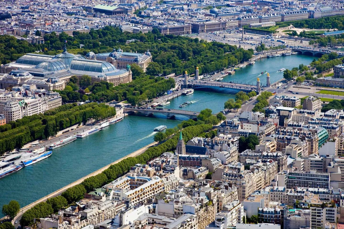
Its geography makes planning easier. Île de la Cité and Île Saint-Louis sit at the historic heart, while the Seine divides the Right and Left Banks without isolating them. The arrondissement pattern gives a quick way to place neighbourhoods, and the city’s mostly level terrain makes many central combinations straightforward.
The full story
Paris occupies a north-bending stretch of the Seine in northern France. Its two central islands, the larger Île de la Cité and Île Saint-Louis, form the oldest part of the city and still make useful anchors when orienting yourself. From there, Paris spreads across both banks of the river rather than in a single straight grid. The city is broadly flat, though hills such as Montmartre, Belleville and Montagne Sainte-Geneviève create local changes in pace and views. Its modern shape was largely set by the 1860 annexations, which created the 20 arrondissements that spiral outward from the centre. The Boulevard Périphérique traces much of the city’s edge, while the Bois de Boulogne and Bois de Vincennes extend the municipal map farther west and east. For visitors, the essential geography is simple: use the Seine, the islands and the arrondissement number to understand where a place sits before choosing a route.