
Why go
This is the lens that makes ordinary walks more rewarding. The Île de la Cité and Île Saint-Louis explain the city’s river beginning, while the straight avenues and consistent façades show how later planning altered movement without erasing the older map. Look beyond monuments to the relationship between street, building line and trees.
The full story
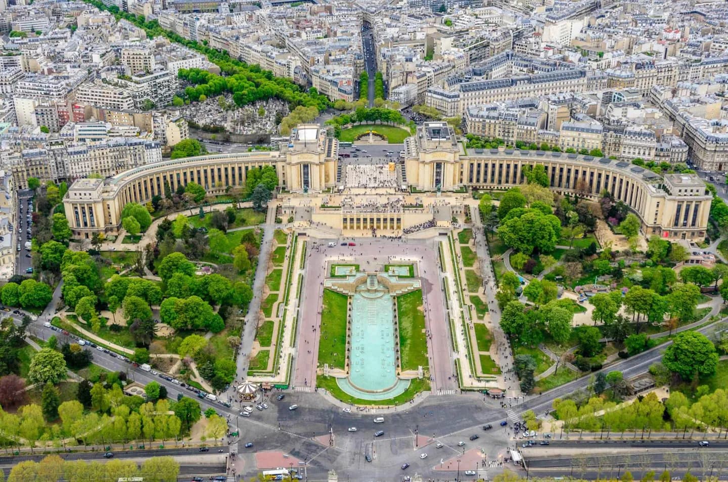
Paris is unusually legible because layers of change remain visible in its plan. Its earliest settlement formed among islands and sandbanks in a bend of the Seine; the Île de la Cité and Île Saint-Louis are the clearest survivors of that landscape. From the Middle Ages onward, rulers repeatedly added buildings and infrastructure, yet the city was not remade from scratch after a single catastrophe. The most decisive later intervention came under the Second Empire, when Baron Haussmann’s remodelling produced many of the avenues and boulevards that still organize movement through central Paris. Along them, aligned street fronts, pale Paris stone, upper-storey balconies and planted rows create a coherent visual rhythm. That regularity is part of the experience: a walk from an old, irregular street to a boulevard shows how planned order was imposed on a much older city.