
Why go
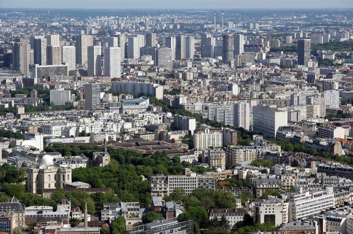
Arrondissement numbers make planning more concrete. The 1st holds the Louvre and Tuileries, the 4th combines Notre-Dame with the Marais and Hôtel de Ville, and the 7th brings together the Eiffel Tower, Les Invalides and the Musée d’Orsay. Use the number with named landmarks to avoid treating the city as a single walkable zone.
The full story
The arrondissement system gives Paris a practical geography. Numbered from 1 to 20 in a clockwise spiral, the central arrondissements hold many of the city’s oldest and most visited places, while later numbers lead into residential quarters, canals and large parks. The 5th and 6th share the Latin Quarter and Luxembourg Garden; the 8th gathers the Champs-Élysées, the Arc de Triomphe and the Grand Palais–Petit Palais ensemble; the 18th rises to Montmartre and Sacré-Cœur. Numbers alone do not describe a neighbourhood, but they help locate it. Pair them with the Seine, a Métro stop and two nearby anchors. That is usually enough to make a day’s route realistic and to decide when a cross-city transfer is worth it. The spiral also explains why nearby numbers are not always the most useful way to judge walking distance: river crossings and large parks can shape a route more than an arrondissement boundary.