
Why go
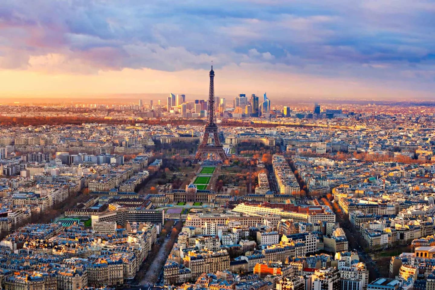
The central city can feel legible once you use the Seine and the arrondissements as bearings. Île de la Cité sits at the historic centre, the Left Bank rises toward the Latin Quarter, and the grand westward axis runs through the Tuileries toward the Arc de Triomphe. This framework helps turn a list of landmarks into a coherent map.
The full story
Paris grew from a settlement of the Parisii into a medieval centre of commerce, royal power and scholarship. Its most concentrated historic landscape remains close to the Seine, especially around Île de la Cité and the Left Bank. The city later expanded outward in successive layers, while boulevards, rail stations and public monuments connected older quarters to new ones. Today, the 20 arrondissements form a clockwise spiral from the centre. Their numbers are more than addresses: they help explain why the Louvre and Tuileries sit near the river, why the Latin Quarter lies across it, and why the Eiffel Tower and Arc de Triomphe belong to a broader western sweep. Paris extends well beyond its administrative boundary, but most first-time exploration is concentrated in this inner geography.