
Why go
Philadelphia Geography works best before the route is fixed. The Delaware and Schuylkill rivers, the central grid and the rising ground toward the northwest explain both the street pattern and the city's varied walking conditions. Let Philadelphia Geography set the first anchor. Return to Philadelphia Geography when choosing the next connection or postponing a separate district.
The full story
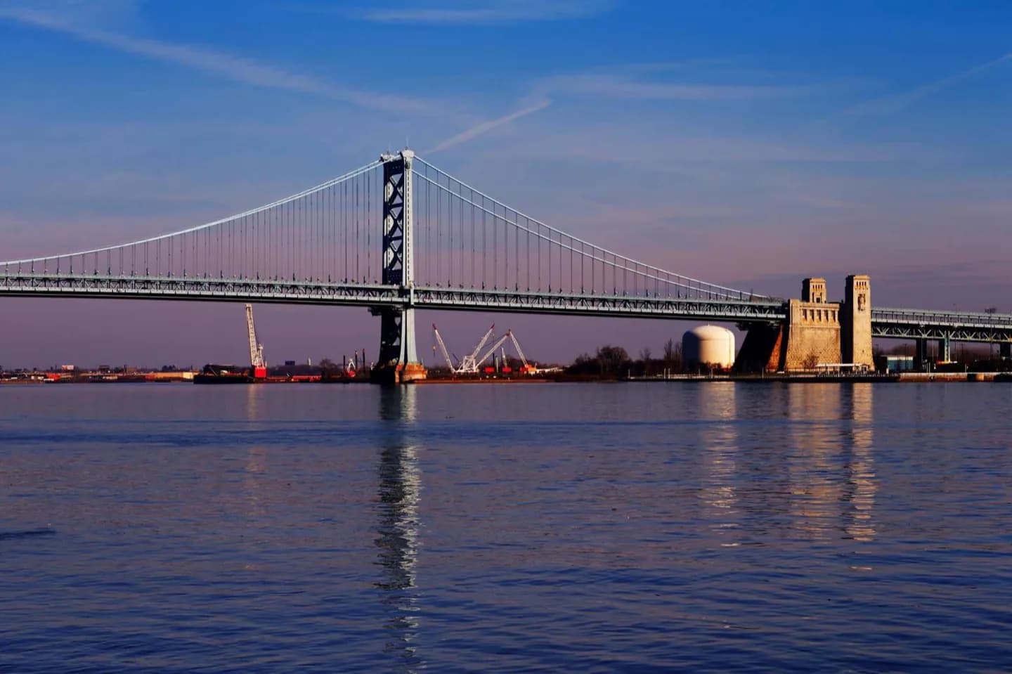
The Delaware and Schuylkill rivers, the central grid and the rising ground toward the northwest explain both the street pattern and the city's varied walking conditions. Philadelphia is at 39° 57′ north latitude and 75° 10′ west longitude, and the 40th parallel north passes through the northern parts of the city. The city encompasses 142.6 square miles , of which 135.1 square miles (349.9 km2) is land and 7.6 square miles (19.7 km2), or 5.29%, is water. Bodies of water include the Delaware and Schuylkill rivers, and Cobbs, Wissahickon, and Pennypack creeks. The lowest point is 10 feet (3 m) above sea level, while the highest point is in Chestnut Hill, about 445 feet (136 m) above sea level (near the intersection of Germantown Avenue and Bethlehem Pike). Philadelphia sits on the Fall Line that separates the Atlantic Coastal Plain from the Piedmont. The rapids on the Schuylkill River at East Falls were inundated by the completion of the Fairmount Dam. The city is the seat of its own county. The adjacent counties are Montgomery to the north; Bucks to the northeast; Burlington County, New Jersey, to the east; Camden County, New Jersey, to the southeast; Gloucester County, New Jersey, to the south; and Delaware County to the west. Philadelphia's central city was created in the 17th century following the plan by William Penn's surveyor Thomas Holme.