
Why go
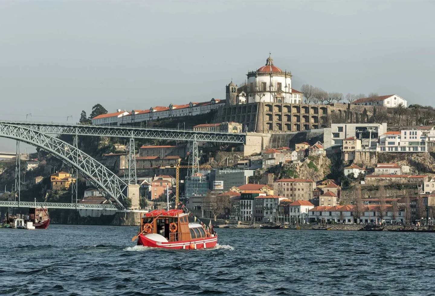
Following the river gives Porto its clearest geographic logic. The slopes, bridges, Ribeira quays and Gaia wine lodges all respond to this channel, while a walk toward Foz shows the dense historic city gradually giving way to the broader estuary.
What to look for
- The opposing Ribeira and Gaia banks rise steeply from a narrow urban channel.
- Successive bridges create a visible timeline of Porto's transport and engineering history.
- Downriver, the enclosed historic waterway broadens toward the Douro estuary at Foz.
The full story
The Douro crosses northern Spain and Portugal before reaching the Atlantic at Porto, but within the city its importance is immediate and local. The historic center occupies steep ground above the north bank, while Vila Nova de Gaia faces it from the south. Bridges bind the two slopes together and record successive eras of engineering. The river also connects Porto to the vineyard landscapes upstream, where grapes for Port wine have long been grown on steep valley terraces around places such as Pinhão and Peso da Régua. Olive and almond cultivation also marks parts of the upper valley. At the mouth, the setting changes again: the tight urban channel opens toward Foz and the estuary, giving a clearer sense of Porto as both river city and Atlantic port.
Useful to know
- Choose one stretch rather than trying to cover the whole riverfront: historic Ribeira and the Foz estuary offer different experiences.
- Use the bridges to build a loop between Porto and Vila Nova de Gaia instead of retracing the same bank.
- Expect steep climbs when leaving the riverside for the upper city.
Your next visit
Estimated · Declared scenario and planning estimates; no live opening, weather, queue or booking service.
Outdoor visit · 30–45 min
World planning estimate; admission, opening, visit duration and access need checking.