
Why go
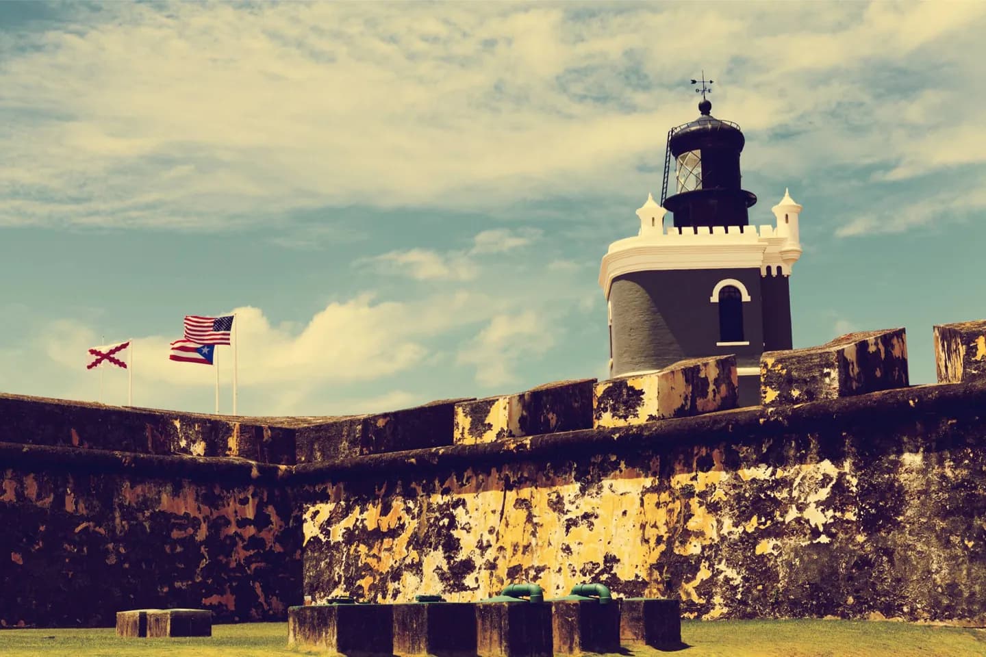
The approach reveals the castle's purpose: ships entering the bay passed beneath the promontory. Inside and along the walls, the garitas, gun positions and later lighthouse show a defense altered across centuries. Its setting makes the harbor story easier to grasp than a date list would.
What to look for
- The fort commands the narrow entrance to San Juan Bay from the islet's western point.
- Dome-topped sentry boxes, called garitas, punctuate the walls.
- A lighthouse stands above the fortifications, replacing an earlier one damaged in 1898.
The full story
Spanish defenses began at this western headland in the sixteenth century to control entry to San Juan Bay. The position made El Morro the seaward anchor of the city's protection. The fort grew over many generations as artillery and military needs changed, so its present form is the result of repeated additions rather than one building campaign. That long development is visible in the layered walls and the six levels descending toward the sea. Garitas, the small domed sentry boxes along the walls, became one of Puerto Rico's familiar architectural symbols. The lighthouse adds another period: an earlier one was damaged during the 1898 bombardment, and the present lighthouse followed in the early twentieth century. The broad open ground outside the walls was also part of the defense, keeping an approaching force exposed.
Useful to know
- Allow time to cross the broad open grounds before reaching the fort entrance.
- The approach is exposed; plan for sun or rain and check National Park Service access before going inside.
- Pair El Morro with the nearby old city walls to see how its harbor defense joined the wider system.