Saved in this browser, on this device. Shared across the nine languages.
Loading your Puerto Rico…
From the Puerto Rico World / Stories
How Puerto Rico’s Landscape Fits Together
The main island rises through the Cordillera Central, with greener northern terrain and a drier south. Beyond it, Vieques and Culebra make the archipelago more than one island.
Puerto Rico / Your next move
Bring this chapter to life.
Keep exploring Puerto Rico with our travel partners.
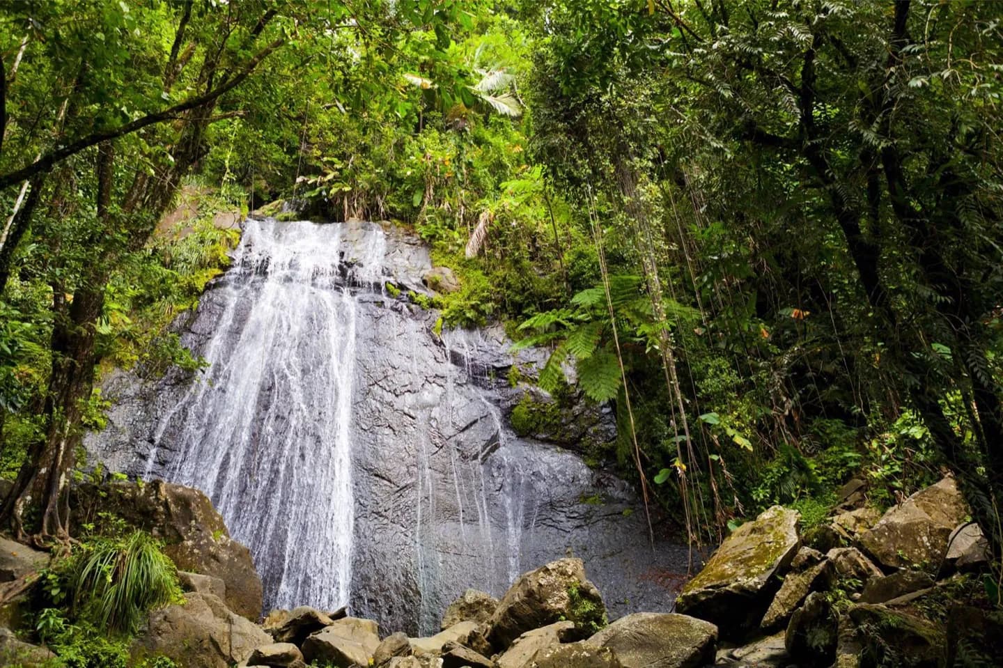
Compare the limestone hills and caves of the north with the southern coast and the mountains between them. El Yunque occupies the northeastern highlands, while Guánica shows a dry-forest landscape in the southwest. Those contrasts explain why a short distance on the map can feel like a different part of Puerto Rico.
What to look for
The Cordillera Central forms the main island’s mountain spine.
Northern limestone terrain holds many of the island’s caves and karst formations.
Vieques and Culebra sit apart from the main island and have distinct shorelines.
Useful to know
Choose a region for each outing; a mountain, cave and offshore island are not quick stops on the same circuit.
Photo gallery 2
Original World content and translations, shown as supplied. Practical information may need updating.
Puerto Rico / Tours & Travel
My day 00
Collect a few stops, adjust the time and put them in an order that works for you.
Saved in this browser, on this device. Shared across the nine languages.
Puerto Rico, in sync.
My plans changed
Tell this moment what changed above. I will offer a new draft of My day, keeping what fits in order.