
Why go
The change in terrain explains why northern districts feel more spread out and southern beaches occupy smaller, mountain-backed coves. Compare the open coastal plain near the Ameca with the steep shoreline toward Mismaloya and Cabo Corrientes when deciding how much coast to cover in one outing.
The full story
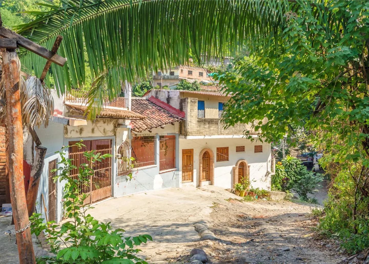
The municipality has relatively little flat land. Its broadest low ground lies toward the Río Ameca and along the coast north of the Río Cuale. Inland, the San Sebastián and Cuale ranges rise behind the city as part of the Sierra Madre Occidental. Development follows the available plain and has also climbed into river valleys and hillsides. South of the center, the Sierra de Cuale approaches the shore and the coastline becomes more abrupt, with cliffs continuing toward Cabo Corrientes. This is the reason a short distance on a map can represent a noticeable change in beach character. The northern side of the urban area has room for longer built-up stretches; farther south, the slopes frame smaller bays and separate the coast into distinct stops. Seen from the waterfront, the mountains are the eastern boundary of the city as much as its backdrop.