
Why go
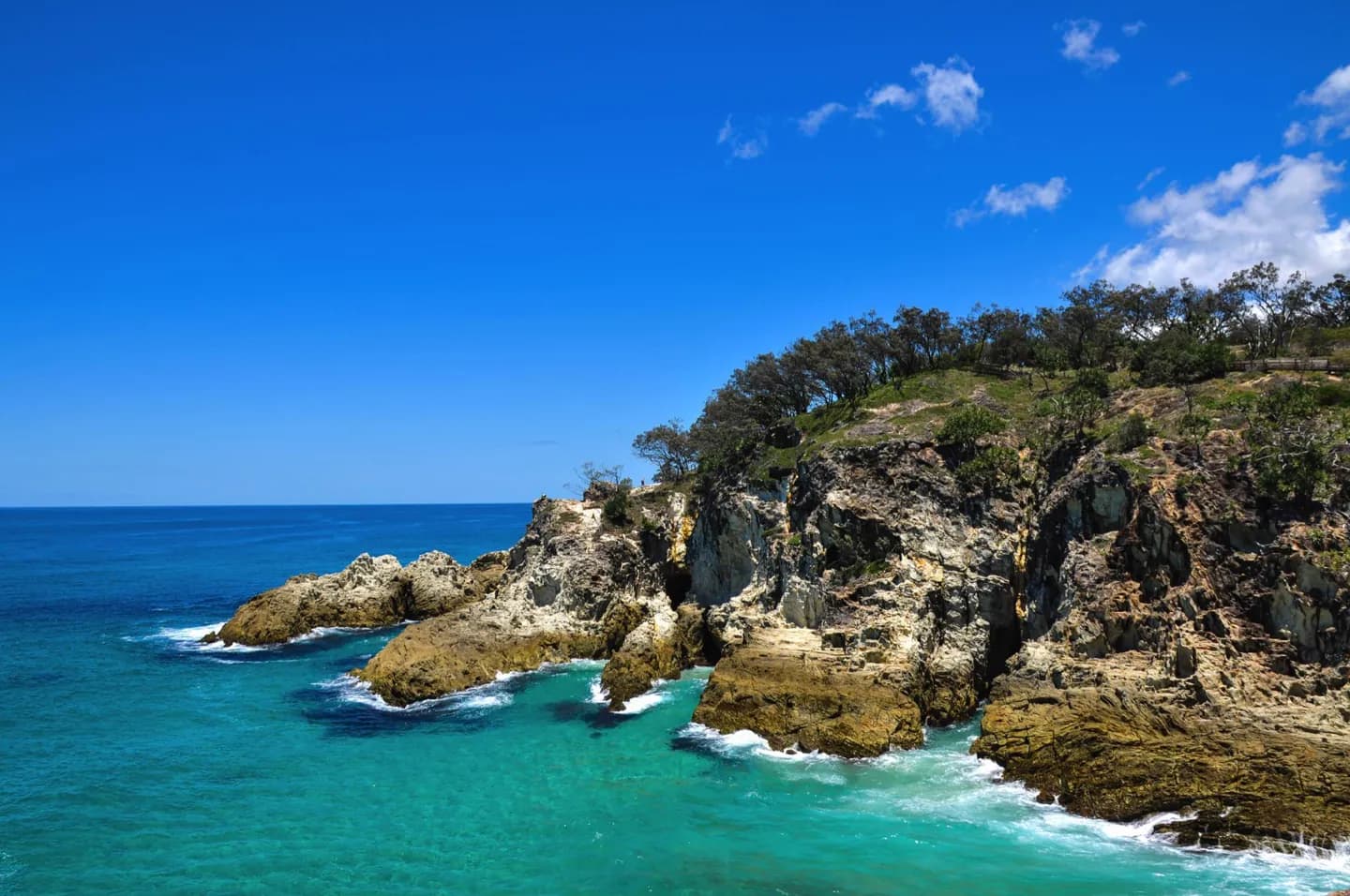
Dunwich, Amity and Point Lookout show different sides of the island, from the arrival settlement to bay and ocean settings. The continuing connection of the Quandamooka people is part of its identity. A ferry journey makes the visit feel distinct from Brisbane's mainland coast.
What to look for
- Compare the settings of Dunwich, Amity and Point Lookout.
- Take in the ocean-facing landscape at Point Lookout.
- Notice the island's mix of beaches, lakes and rocky outcrops.
The full story
Minjerribah is Quandamooka Country, with a long and continuing Aboriginal presence. The island's beaches, lakes and rocky headlands are more than scenery: they frame distinct settlements and ways of moving across the island. North and South Stradbroke were once connected; a storm in 1896 opened the Jumpinpin Channel between them. At Point Lookout, the rocky edge interrupts the long sand-island coast and gives a different perspective from the bay-facing towns of Dunwich and Amity. Taking time to compare these places gives the island more depth than a single beach visit, while its size and ferry access make selective planning essential. Dunwich is the practical arrival point for many visitors, but the island's character changes on the way to Amity and Point Lookout. Those differences make transport planning part of the experience.
Useful to know
- Choose a water taxi or vehicle ferry to Dunwich according to how you will travel onward.
- Check current national park alerts before selecting a walking track; access can change.
- Plan onward transport between the towns and coastal sites rather than assuming they are walkable from the ferry.
Your next visit
Estimated · Declared scenario and planning estimates; no live opening, weather, queue or booking service.
Outdoor visit · 30–45 min
World planning estimate; admission, opening, visit duration and access need checking.