
Why go
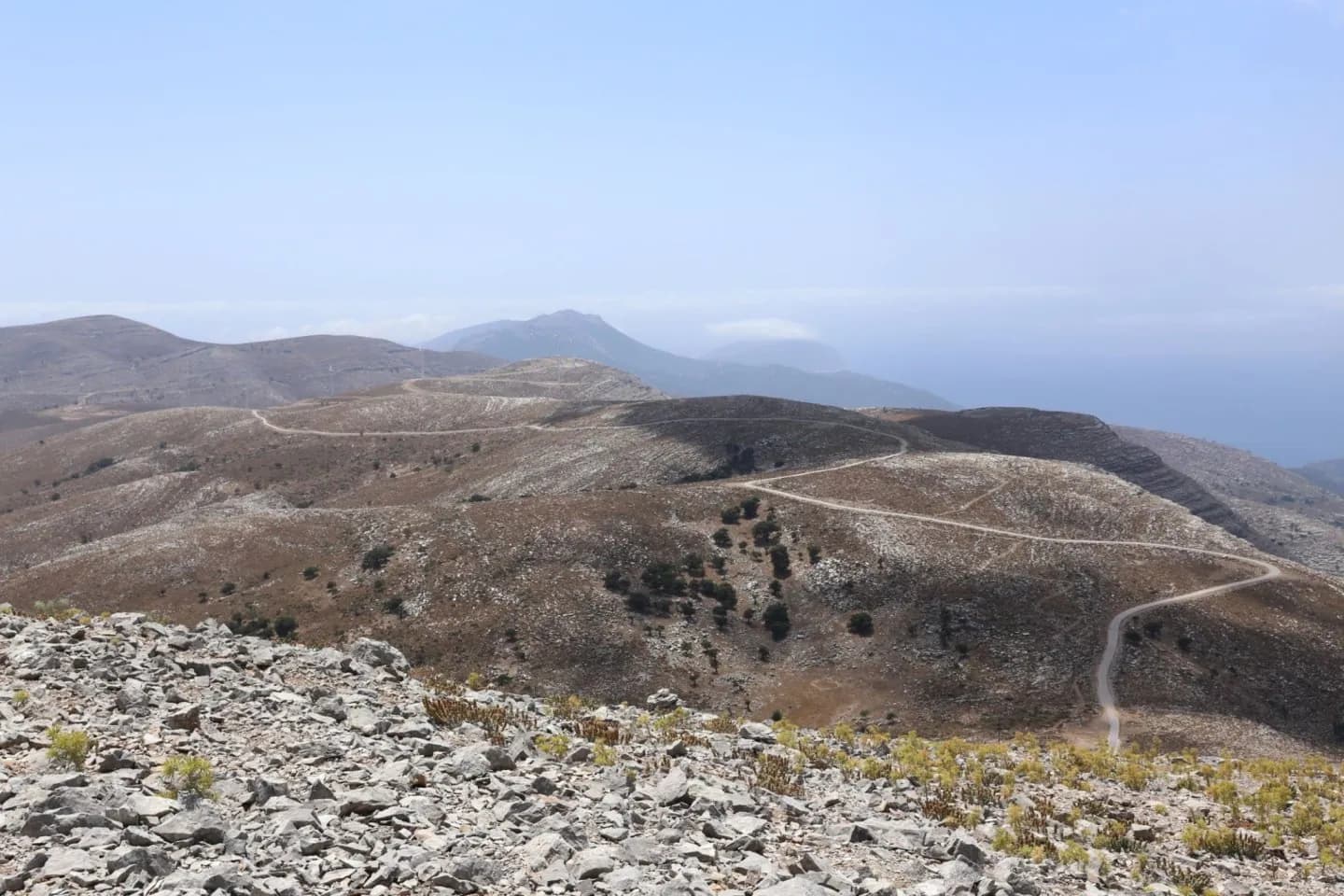
The marked route climbs from Embonas into the island’s highest mountain landscape, ending near the antenna and ancient temple remains. It involves steep, loose rock and limited waymarking, so experience and stable weather matter. The published walking route reaches this summit area; the mapped peak is the destination, not a trailhead.
What to look for
- Reach the accessible antenna and Zeus Temple area on the high ridge.
- Look across western Rhodes from the summit in clear conditions.
Useful to know
- The regional route describes about 90 minutes up and 90 minutes down; allow longer for route-finding and breaks.
- Start in Embonas, carry water and use a reliable map; the mapped peak is the destination.
Your next visit
Estimated · Declared scenario and planning estimates; no live opening, weather, queue or booking service.
Outdoor visit · 270–360 min
World planning estimate; admission, opening, visit duration and access need checking.