
Why go
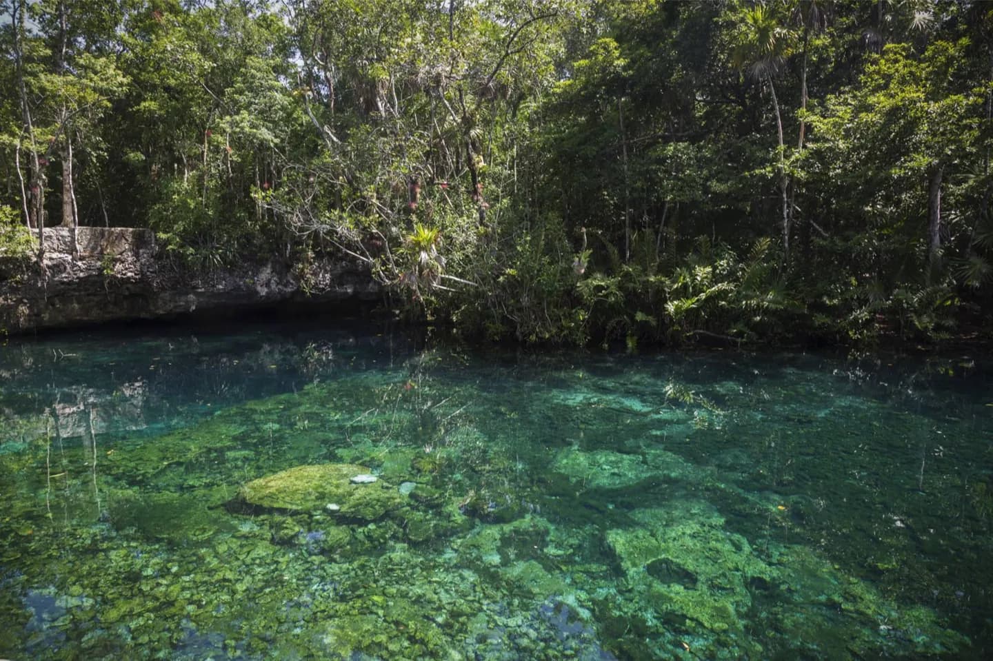
The geology changes how you understand a cenote swim or cave visit along the Riviera Maya. A pool may connect to a much larger underground network, while freshwater near the coast sits above denser saltwater. The same porous rock also explains why protecting groundwater matters across the peninsula.
The full story
The Yucatán Peninsula is largely a flat platform of soluble rock, especially limestone. Over time, rainwater dissolves paths through that rock, creating a karst landscape of caves, sinkholes and underground drainage. A cenote is a sinkhole or opening that gives access to the water below. In much of northern Yucatán, this drainage leaves few permanent surface rivers, even though water is abundant underground. Near the coast, a lens of freshwater from rainfall rests above denser saltwater entering from the sea. The two can meet within the cave system. Maya communities have long relied on cenotes for water, and the openings remain one of the peninsula's most visible links between daily life and geology. A cenote visit is therefore more than a swim in a small basin: it offers a glimpse of a connected underground water landscape shaped by the rock beneath the entire region.