
Why go
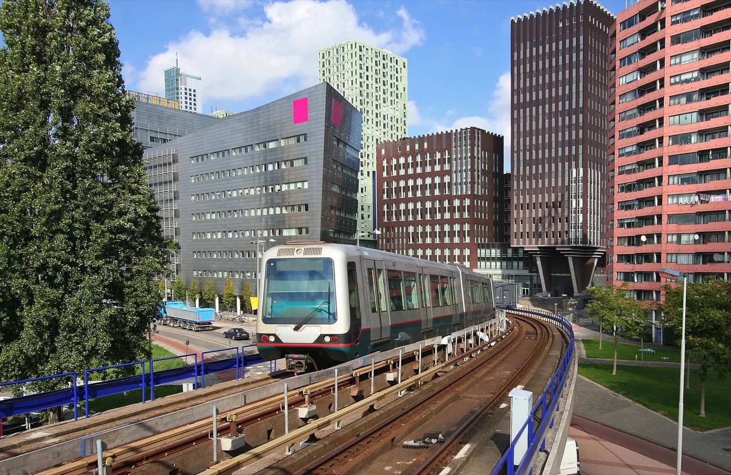
Rotterdam is spread across both sides of the Nieuwe Maas, so a journey planner often saves more time than walking between every sight. Metro lines handle longer cross-city moves, trams serve central corridors and buses fill gaps beyond the rail network. The system is most useful when you are linking Rotterdam Centraal, Museumpark, Blaak, Kop van Zuid or a return from the southern bank.
The full story
Rotterdam’s transport network reflects a city divided by water and extended by port development. The metro provides the clearest long-distance structure, with east-west and north-south corridors meeting near the centre. Trams retain a closer relationship with the street, making them useful for seeing how central districts connect, while buses reach places outside the rail network. Older guidance on tickets, line colours, construction work and timetables dates quickly, so it is better to use the network’s current information for a particular journey. The durable point is spatial: public transport turns a broad, river-crossed city into manageable sections rather than one continuous walking centre. The system also makes it practical to combine a north-bank visit with a southern waterfront stop without treating the river as a barrier.
Useful to know
- Plan each journey with a current public-transport planner; routes, stops and ticket rules can change.
- Use metro for longer cross-city journeys and trams for central street-level connections.
- Allow extra time when changing between river banks or travelling beyond the compact centre.