
Why go
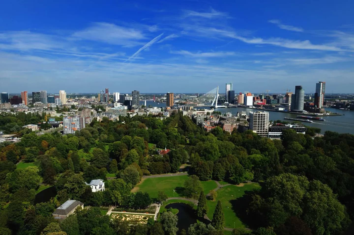
The river is the best planning tool for Rotterdam. It establishes the difference between the city centre on the north bank and Kop van Zuid to the south, while crossings such as Erasmusbrug turn movement into a view. Dikes and polders also explain the unusually engineered landscape: much of the city lies behind flood defences and parts of its northeast sit below sea level.
The full story
The Nieuwe Maas gives Rotterdam its basic shape. The central city developed on the north bank, while more recent development at Kop van Zuid occupies the northern edge of the southern side. Bridges, tunnels, metro lines and railway tunnels now connect the two, but their variety reflects the challenge of maintaining movement across an active waterway. Erasmusbrug is the most visible crossing, while De Hef, a former railway lift bridge, remains raised as a monument between Noordereiland and the south bank. Rotterdam’s low position is equally important. Much of the city is protected by dikes, and the Prins Alexander Polder in the northeast lies about 6 metres below Normaal Amsterdams Peil, the Dutch reference level. These are not abstract engineering facts: they explain the broad water infrastructure, open horizons and persistent exposure to wind that visitors encounter beside the river.