
Why go
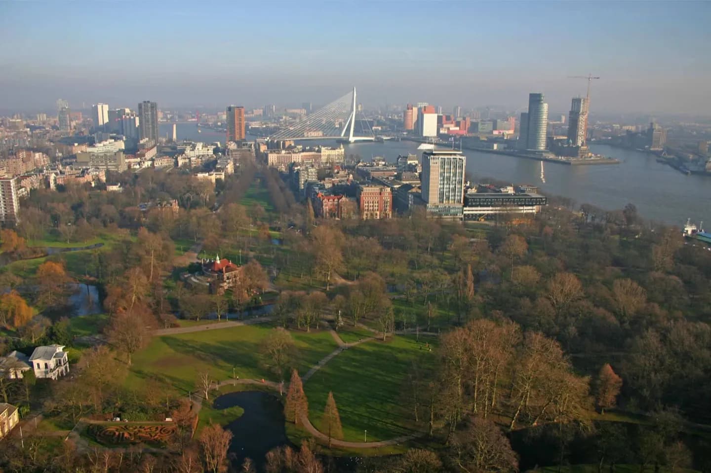
This is the essential introduction before exploring individual neighbourhoods. Rotterdam is defined by a working relationship with water: the river runs through the city, the port reaches west towards the sea, and bridges bind together districts on both banks. That setting gives the city a different rhythm from canal-centred Dutch destinations and clarifies why its architecture often faces the waterfront.
The full story
Rotterdam belongs to South Holland and to the wider Randstad, but its defining setting is the delta. It stands on the Nieuwe Maas, a channel within the Rhine–Meuse river system, and its name recalls the dam built on the Rotte. The river is not simply scenery. It divides the city’s northern and southern sides, supports commercial navigation and connects central quays to the harbour lands stretching west towards the North Sea. Rotterdam-Rijnmond, meaning the Rhine’s mouth, describes this wider river-and-port region. For visitors, the geography explains the city’s scale. A view from Erasmusbrug or the riverside brings together cargo traffic, historic harbour fragments, tower clusters and the southern peninsula of Kop van Zuid. The city is best understood through those connections: inland river routes, sea access and the infrastructure built to cross water rather than avoid it.