
Why go
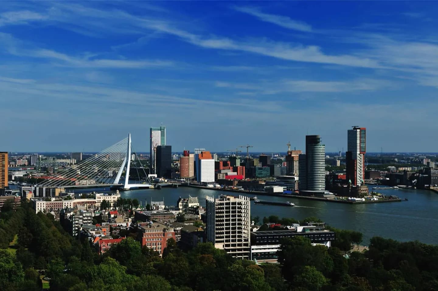
Rotterdam makes its geography visible. The Nieuwe Maas divides north from south, Erasmusbrug frames the central crossing, and harbour traffic links the skyline to the North Sea. Come for modern architecture and museums, but leave time to follow the river: it explains the open scale, the port-facing outlook and the contrast between older harbours and post-war development.
What to look for
- The Nieuwe Maas, with bridges and towers linking the northern centre to Kop van Zuid
- A waterfront shaped by an active port rather than a purely decorative quay
- Post-war buildings beside surviving older structures such as Stadhuis and the Witte Huis
The full story
Rotterdam grew where the Rotte met the waters that now form the Nieuwe Maas. A dam built on the Rotte in the thirteenth century gave the settlement its name, while dikes made life possible in a low-lying delta. The city’s later importance came from water connections rather than a sheltered historic core. The Nieuwe Waterweg, completed in 1872, created a direct channel to the North Sea and accelerated the expansion of the harbour along both banks. The 1940 bombardment destroyed much of the centre, leaving a city whose physical story is unusually legible: a few older survivors, broad reconstructed streets and a skyline assembled across later decades. The river remains the constant. It separates districts, carries commercial traffic and makes every major crossing part of Rotterdam’s civic landscape.
Useful to know
- Use the river as an orientation line when moving between the centre, Museumpark and Kop van Zuid.
- Allow extra time for distances across the port-facing city; central sights and outer harbour areas are not one compact walk.
- Carry a windproof layer for bridges and exposed quays.