
Why go
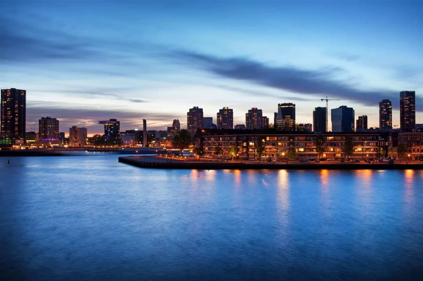
Follow the Nieuwe Maas to understand why Rotterdam faces the water. The river gathers major pieces of the skyline into one view, from Erasmusbrug and Willemsbrug to towers on Kop van Zuid, while ferries, barges and harbour traffic keep the scene active. Riverside routes also make it easy to compare rebuilt central districts with former docklands.
What to look for
- Erasmusbrug and Willemsbrug forming two very different silhouettes across the same river
- Harbour traffic moving between the urban quays and the wider Rhine–Meuse delta
- The contrast between the central waterfront and the high-rise profile of Kop van Zuid
Useful to know
- Use the Nieuwe Maasparcours or Rondje Bruggen as a framework for exploring both banks.
- Expect exposed wind and little shelter on bridges and open quays.
- Combine a riverside walk with Erasmusbrug rather than treating the water as a separate stop.
Your next visit
Estimated · Declared scenario and planning estimates; no live opening, weather, queue or booking service.
Outdoor visit · 10–25 min
Public-space walk and exterior observation only; no interior, garden, tower or ticketed admission included. Durations and walking are estimates. Check temporary restrictions and park or market opening times.
Outdoor visit · 15–25 min
World planning estimate; admission, opening, visit duration and access need checking.