
Why go
The city’s layout gives you a useful choice between walking central blocks, using light rail and driving across the valley. Temple Square anchors the grid, while Main Street and South Temple divide its directions. Understanding those reference points makes an unfamiliar address much easier to place.
The full story
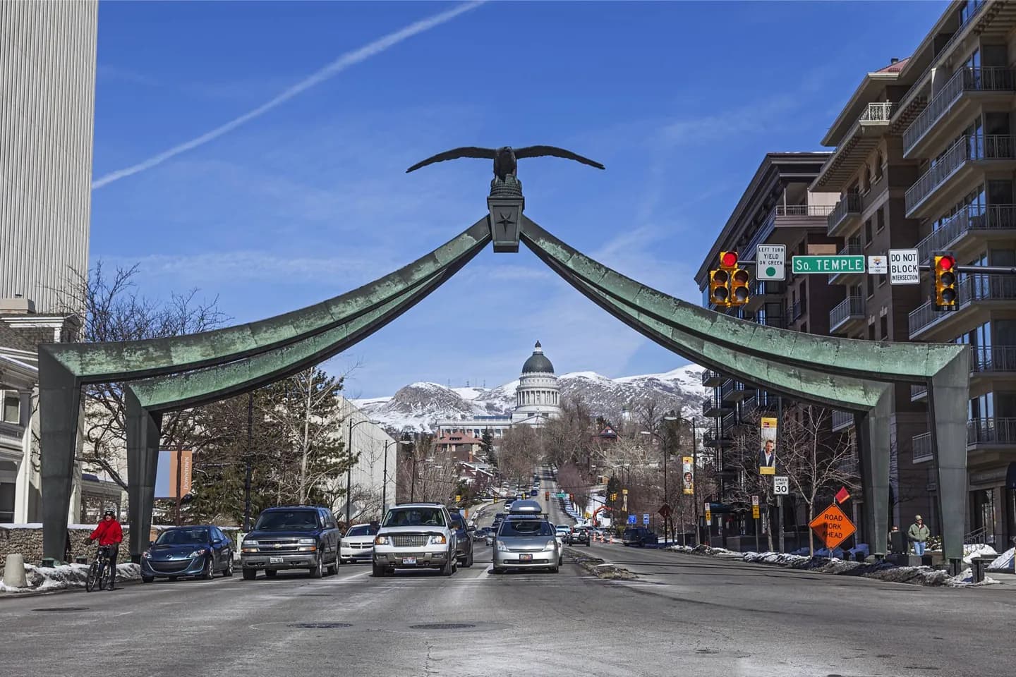
Salt Lake City’s street names work much like coordinates. The grid is anchored at the southeast corner of Temple Square. Main Street separates east from west, and South Temple separates north from south. The numbers rise by 100 with each block: 500 East lies five blocks east of Main Street, while 1900 South lies nineteen blocks south of South Temple. A direction in a street name identifies its position on the grid, not the direction of traffic. Some streets also have conventional names; 300 South is Broadway, and State Street is 100 East. Beyond the center, Interstate 15 runs north and south, while Interstate 80 crosses the valley east and west. The mountains leave Interstate 215 as a partial loop rather than a full ring road.
Useful to know
- Find Main Street and South Temple on a map first; their intersection divides east–west and north–south addresses.
- For Temple Square, the University of Utah or the airport, check the current Utah Transit Authority map and fares before choosing light rail.
- Check current cycling access for City Creek Canyon before setting out.