
Why go
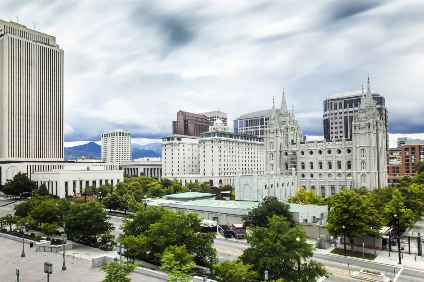
The southeast corner of Temple Square is the origin of Salt Lake City's street addresses, so the city's plan becomes visible as you walk. The temple's long construction and nearby traces of immigrant communities add a deeper account than a single founding date. This context makes a downtown architecture walk more rewarding.
The full story
Shoshone, Ute and Paiute peoples lived in the Salt Lake Valley for thousands of years before Latter-day Saint settlers arrived in 1847. The valley lay within Northwestern Shoshone territory, a history that predates the downtown grid visitors see today. Construction of the Salt Lake Temple began in 1853 and took 40 years. Its block became Temple Square, and the square's southeast corner became the reference point for valley addresses. Rail links in the late nineteenth century brought more people and businesses. A Chinese community developed around Plum Alley; its buildings were later demolished, and a historical marker recalls the district. Downtown also retains a Buddhist temple and Japanese Christian chapel associated with its former Japantown. St. Mark's Episcopal Cathedral, the Cathedral of the Madeleine and Holy Trinity Greek Orthodox Cathedral show how other faith communities built their own landmarks as the city grew. Walking between these places reveals a broader city history than the temple alone.
Useful to know
- Begin at Temple Square to see where the address grid starts, then compare the nearby faith buildings and civic landmarks.
- Look for the Plum Alley marker if you want to trace a neighborhood whose buildings no longer stand.