
Why go
The Campidano plain separates mountain systems in the south and east, while the Gennargentu holds the island's highest ground. This context makes individual sites easier to compare and helps each regional day follow a coherent historical or geographic thread. For Sardinia, this geography and climate context helps decide what deserves time, which Sardinia stops belong together and which Sardinia details would otherwise pass without explanation.
The full story
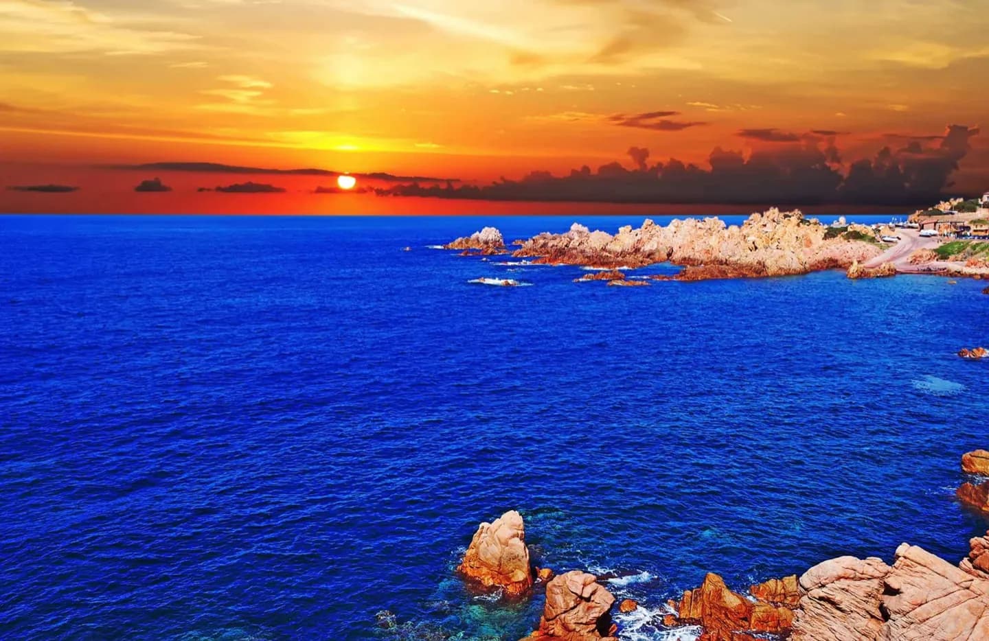
The Campidano plain separates mountain systems in the south and east, while the Gennargentu holds the island's highest ground. Limestone defines Supramonte gorges and the Gulf of Orosei; granite dominates Gallura. Summers are dry and exposed, especially at archaeological sites. Mistral winds can affect ferries, beaches and headlands, while upland weather changes faster than coastal forecasts suggest. Season changes the useful plan. Summer rewards early starts and shaded midday stops; spring and autumn can improve walking but bring less predictable wind and rain. Winter narrows some services without removing the cultural value of cities and museums. Match the day's region to the forecast instead of assuming one forecast describes the entire island. Keep the comparison grounded in Sardinia: notice how materials, routes and the surrounding terrain shape what survives. That approach preserves the useful legacy context without turning a visit into a list of names or dates.