
Why go
Bukit Merah is worth understanding before you plan the south of Singapore. Its historic housing streets, harbour edge and hill walks offer different experiences, but the district is too spread out to treat as a single short stroll. Choosing one cluster first keeps the distances manageable.
What to look for
- Tiong Bahru’s early public housing streets.
- The HarbourFront and Keppel Bay edge of the district.
- Telok Blangah and Mount Faber’s higher ground.
The full story
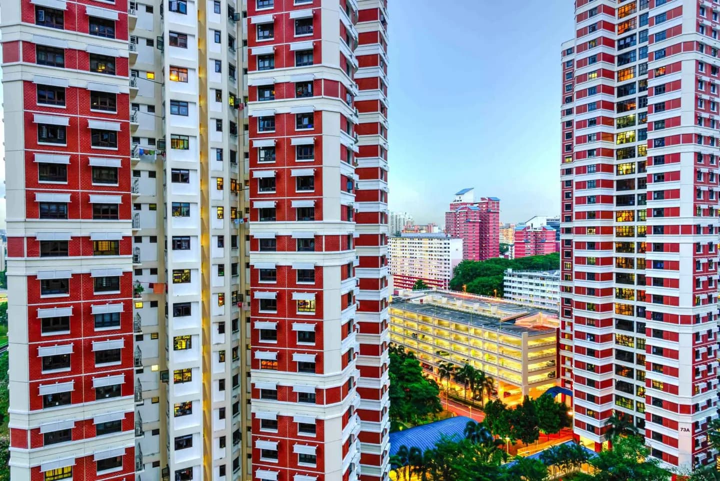
Bukit Merah means ‘Red Hill’ in Malay, a name linked to the area’s reddish soil. A story in the Malay Annals gives the hill a more dramatic origin through the figure of Hang Nadim; it is a legend, not an explanation of the soil itself. The district stretches across several quite different places, including Tiong Bahru, Redhill, HarbourFront and Telok Blangah. Its harbour side was important to maritime traffic, while later colonial-era cultivation and industry reshaped inland ground. Tiong Bahru became an early public housing estate, giving the district a built history distinct from the waterfront. On the southern hills, viewpoints and walking routes show the harbour’s geography from above. Seeing Bukit Merah as a collection of linked areas makes its contrasts clearer: housing, port activity and green ridges all sit within the same broad planning area, but each rewards a separate visit.
Useful to know
- Pick one part of Bukit Merah as your base: Tiong Bahru for neighbourhood streets or HarbourFront and Telok Blangah for hills and harbour.
- Use transport between the district’s separated clusters rather than assuming they form one compact walk.