
Why go
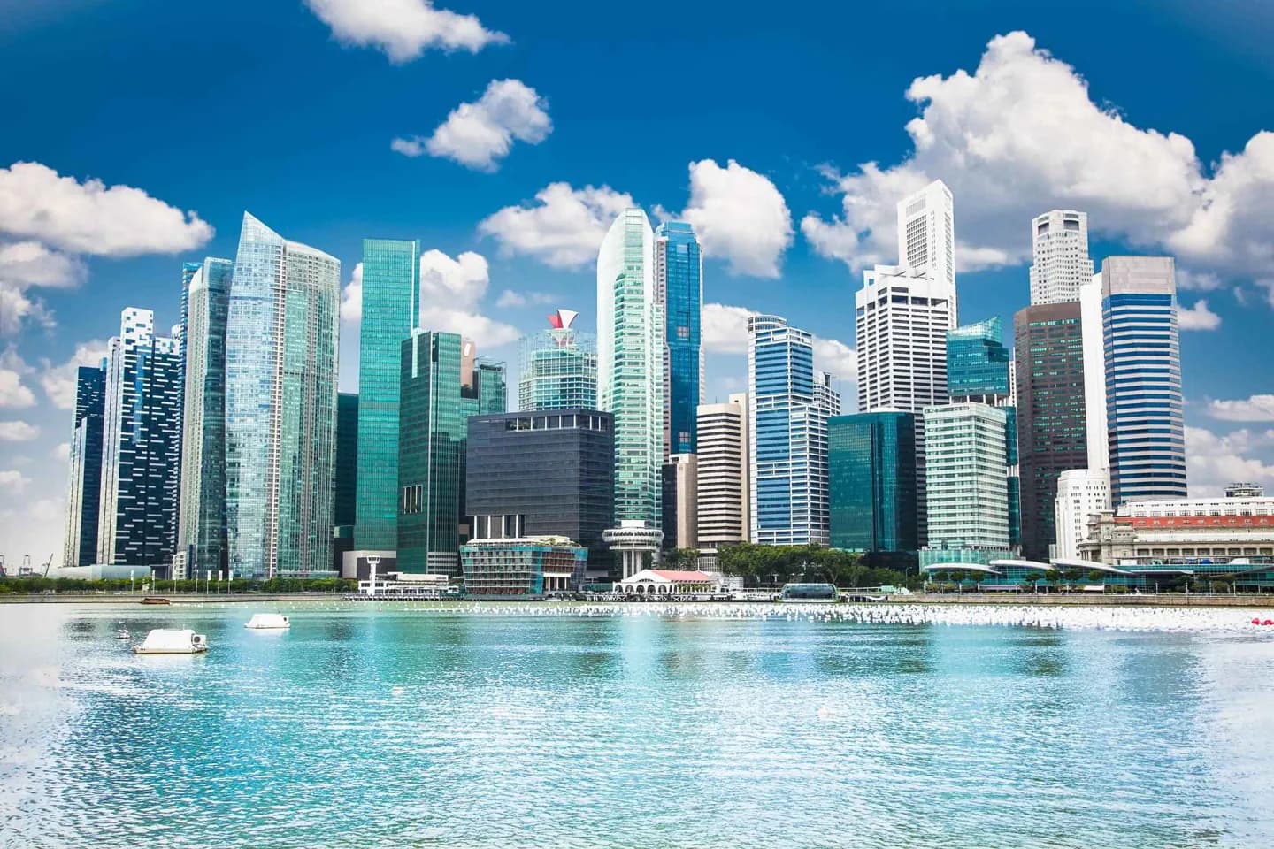
Look at a Housing and Development Board estate alongside the central skyline, then compare both with a reservoir or nature reserve. The contrast shows how housing, green space and water catchments became part of one long-term approach to a crowded island.
The full story
The Housing and Development Board reshaped Singapore by building large estates of flats for residents. These estates sit alongside private houses and commercial districts, making public housing a defining part of the city rather than a fringe development. Tall office buildings create another visible layer, especially in the centre. Yet urbanisation did not erase every green area. Nature reserves such as Bukit Timah and Sungei Buloh protect different habitats, while parks including Bukit Batok Nature Park and Pasir Ris Town Park place greenery close to residential areas. Reservoirs are also spread across the island. MacRitchie and Upper Seletar are inland examples; others were formed by closing river mouths. These bodies of water make land planning visible, since water supply, recreation and habitat all depend on limited space. On a visit, moving between an HDB estate, a park and a reservoir gives a fuller picture of Singapore’s urban development than the central skyline alone.