
Why go
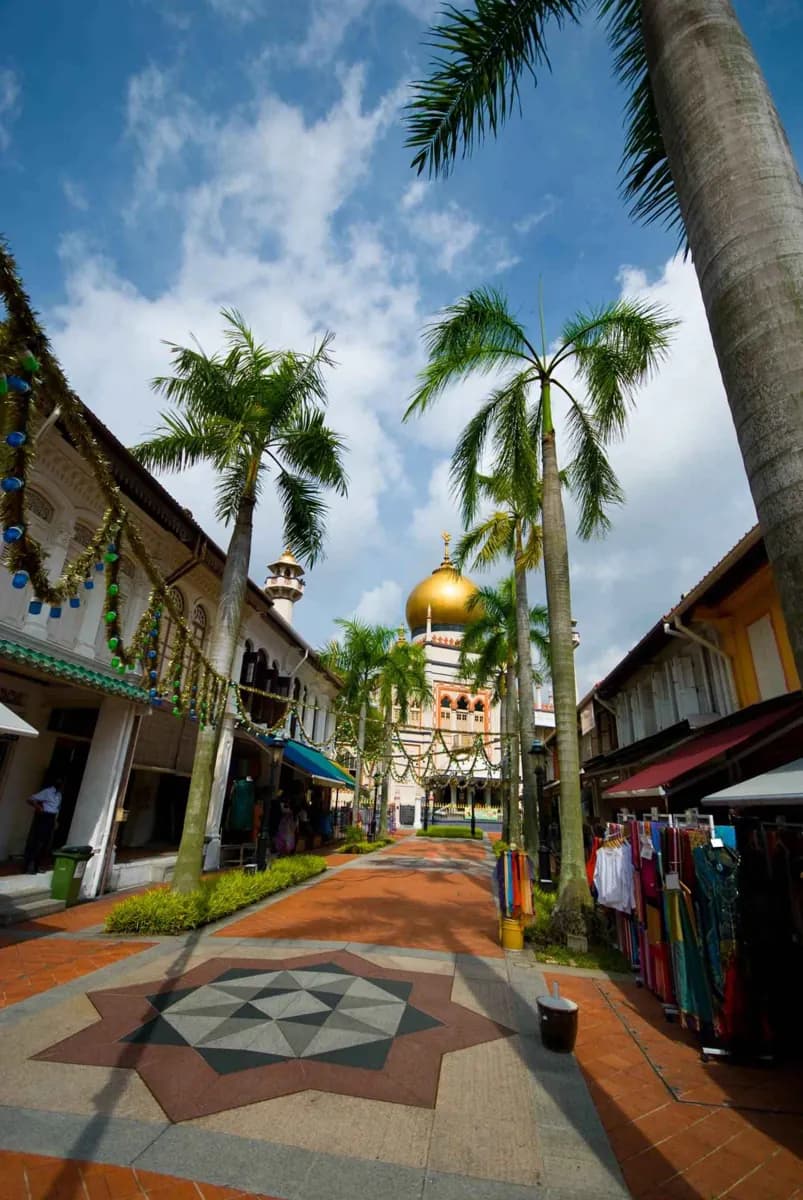
Kampong Glam rewards a slow walk between the mosque and the streets around it. Arab Street, Bussorah Street and Baghdad Street show how a historic settlement became a commercial quarter while retaining visible links to its Muslim communities. The compact street grid makes those layers easy to compare in one outing.
What to look for
- Sultan Mosque as the neighbourhood’s landmark and active place of worship.
- Conserved shophouses along Arab Street, Bussorah Street and Baghdad Street.
- The mix of textile, craft and food businesses around the older street grid.
The full story
Kampong Glam grew around the settlement of Sultan Hussein Shah and his household after the British East India Company established a trading post in 1819. Land in the area was associated with Malay and Muslim communities, and migration from Malacca, Sumatra, the Riau Islands and elsewhere added to its population. The name ‘kampong’ means village; the second part is commonly linked to the gelam tree. In the nineteenth century, merchants and residents created smaller kampongs associated with different places of origin, including Java and Bugis. Arab traders also formed part of the neighbourhood’s commercial life. Shophouses and businesses expanded in the early twentieth century, making the district more varied than a single ethnic label suggests. Today, the mosque and surrounding streets keep that layered history visible. Looking at the street names and shopfronts helps explain why the area is both a place of worship and an active commercial neighbourhood.
Useful to know
- Walk from Arab Street toward Bussorah Street to see the shophouses before reaching Sultan Mosque.
- Check mosque visitor access separately from the surrounding streets, which remain useful for an exterior walk.