
Why go
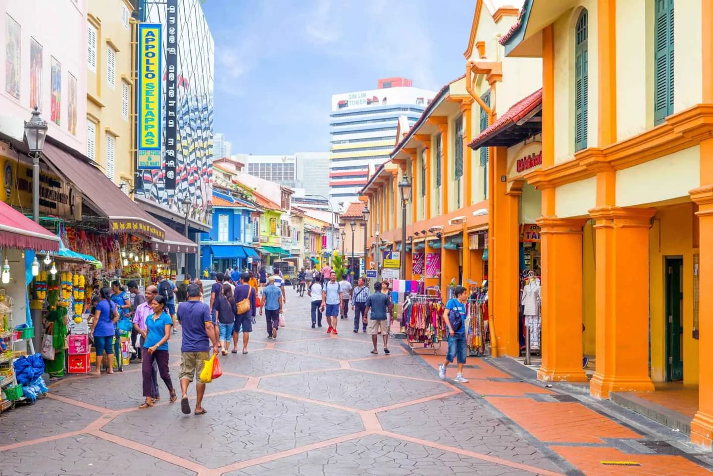
Use the districts to choose a focused day rather than treating the compact city as one continuous centre. Chinatown and the riverside reveal older settlement and trade; Little India centres on Serangoon Road, while East Coast Park and Pulau Ubin offer a different pace away from downtown.
The full story
Singapore’s older commercial centre gathers several contrasting areas within a small space. Chinatown grew from the colonial-era settlement pattern, while the Singapore River became a corridor of trade and later of museums, monuments and theatres. Marina Bay presents a newer waterfront landscape. Orchard Road has a different role as a shopping corridor, so it is more useful to treat it as its own outing than as another riverfront stop. Little India developed around Serangoon Road as Indian migrants settled nearby in the nineteenth century. Beyond the centre, the east offers a different picture of daily Singapore. Bedok is a residential area, and East Coast Park runs along a made coastline. Pulau Ubin preserves traces of kampung life; a kampung is a village community, and the island’s setting contrasts sharply with the mainland’s dense urban districts. Sentosa, once used as a British military base, now serves a leisure role. These differences help visitors plan by interest and geography rather than by an old list of district labels.