
Why go
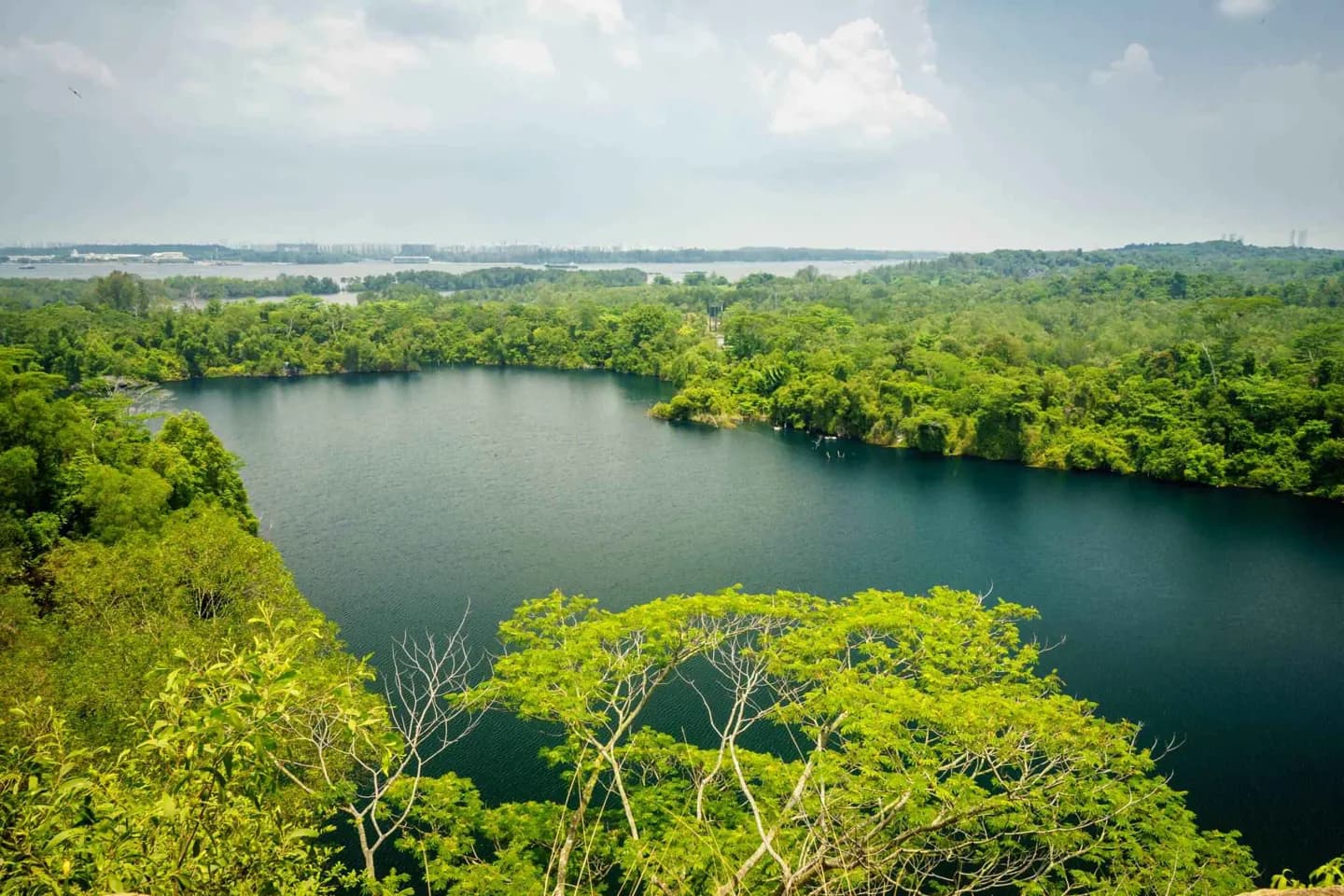
The geography explains why a short distance on a map can connect very different settings: the main island, Pulau Ubin, urban waterfronts and Bukit Timah’s forest. Heat and frequent rain make flexible outdoor plans more useful than a rigid season-based itinerary.
The full story
The main island, Pulau Ujong, lies between Johor to the north and Indonesia’s Riau Islands to the south. Bridges connect it to Johor, while smaller islands include Pulau Ubin, Pulau Tekong, Sentosa and the joined industrial islands of Jurong. Land reclamation has repeatedly altered the coast, so today’s shore is not always an old natural boundary. Urban growth reduced the area of historical forest. Places such as Bukit Timah Nature Reserve and Sungei Buloh Wetland Reserve therefore carry unusual weight for understanding the island’s remaining habitats. Singapore’s equatorial climate brings warmth, humidity and rain throughout the year. There is no sharp winter or summer divide, though rainfall patterns vary. On a visit, this means pairing exposed waterfront or forest time with a flexible indoor option. Geography is visible in the city’s infrastructure as well: a constrained land area has encouraged dense development and intensive planning.