
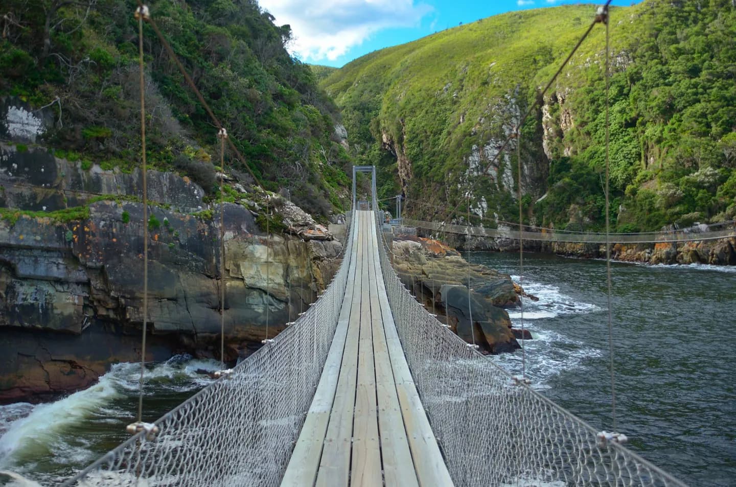
Why go
The Great Escarpment is the key to reading the map: it separates much of the interior plateau from lower country toward the coast. The dry Karoo, Gauteng’s Highveld, northeastern bushveld and Cape Peninsula each offer a different landscape and trip rhythm.
The full story
South Africa faces both the Atlantic and Indian oceans, with a coastal belt that varies in width. Inland, much of the country rises to a broad plateau. The Great Escarpment marks its edge, reaching its most dramatic heights in the Drakensberg. The Great Karoo occupies dry country to the south and west of the plateau; farther northwest, vegetation becomes sparser toward Bushmanland and the Kalahari. The Highveld in the east includes Gauteng, while lower bushveld and the Lowveld lie toward the northeast. Around the Cape Peninsula, the southwestern coast and the Cape Fold Mountains create another distinct setting. Namaqualand becomes more arid toward the Orange River, yet its seasonal flowers can transform the landscape after suitable rain. These contrasts matter in a travel plan: a coastal drive, a highland stay and a bushveld visit differ in terrain, weather and scale. The map is easier to understand as connected landforms than as a list of provinces.