
Why go
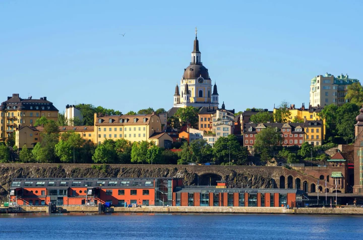
Explore Söder for neighborhood texture and topography rather than a checklist of monuments. Slussen, Katarina, Mariaberget and Hornstull offer distinct moods, with steep streets and overlooks repeatedly revealing Gamla Stan and the waterways below. The northern heights also provide a clear reading of Stockholm’s islands and bridges.
What to look for
- Elevated viewpoints along the northern cliffs.
- Contrasts between older wooden or industrial fabric and later apartment streets.
- Distinct subareas around Katarina, SoFo, Mariatorget and Hornstull.
The full story
Södermalm, usually shortened to Söder, occupies the large island south of Gamla Stan. Its cliffs and ridges shaped development, leaving steep connections to the waterfront and commanding views toward the old city. For much of its history the district had a working-class identity, with modest housing and industry alongside churches and larger streets. Later redevelopment and changing economics brought apartments, restaurants, cultural venues and independent businesses, producing the layered neighborhood seen today. No single street represents all of Södermalm. The engineered transport landscape around Slussen differs from Katarina’s church precinct, Mariaberget’s older fabric and Hornstull’s western waterfront. That variation makes the district better for focused exploration than a rapid circuit. Choose one cluster, notice the shifts in elevation and building age, and let the views explain Södermalm’s relationship with the islands around it.
Useful to know
- Plan one compact part of the island instead of crossing the entire district in a single walk.
- Expect hills, stairs and exposed viewpoints; use transit to avoid unnecessary climbs.
Your next visit
Estimated · Declared scenario and planning estimates; no live opening, weather, queue or booking service.
Outdoor visit · 30–45 min
World planning estimate; admission, opening, visit duration and access need checking.