
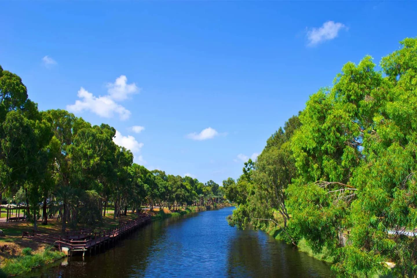
Why go
The source of the Yarkon is at Tel Afek (Antipatris), north of Petah Tikva. It flows west through Gush Dan into the Mediterranean Sea. The Yarkon is the largest coastal river in Israel, at 27.5 km in length. The Yarkon formed the southern border of the vilayet of Beirut during the Ottoman period.
What to look for
- The source of the Yarkon is at Tel Afek, north of Petah Tikva.
- It flows west through Gush Dan into the Mediterranean Sea.
The full story
The Yarkon River, also Yarqon River, is a river in central Israel. The source of the Yarkon is at Tel Afek (Antipatris), north of Petah Tikva. It flows west through Gush Dan into the Mediterranean Sea. The Yarkon is the largest coastal river in Israel, at 27.5 km in length. The Yarkon formed the southern border of the vilayet of Beirut during the Ottoman period. The river became increasingly polluted after the 1950s, many blaming this on the construction of the Reading Power Station which is situated near its mouth. When the river’s headwaters were diverted to the Negev via the National Water Carrier for irrigation purposes, the state of the Yarkon declined. As sewage replaced the flow of fresh water, habitats were destroyed and flora and fauna disappeared. This was exacerbated by continuous discharges of industrial effluents and municipal sewage into the rivers, which allowed algae to multiply.
Useful to know
- Check current site conditions before setting out, especially around holidays, services or special events.
- Keep the visit in the same geographic cluster as nearby stops; cross-city transfers can take longer than the map suggests.
Your next visit
Estimated · Declared scenario and planning estimates; no live opening, weather, queue or booking service.
Outdoor visit · 25–50 min
World planning estimate; admission, opening, visit duration and access need checking.