
Why go
This is the easiest area for combining different chapters of Thessaloniki in one outing. Move from Kapani and the Bezesteni toward Aristotelous Square, or follow the Roman Forum and Galerius sites across the centre to compare old fabric with the rebuilt grid.
What to look for
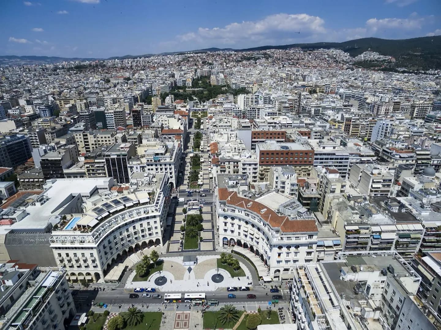
- Aristotelous Square gives the post-1917 plan a clear central axis.
- Kapani and nearby market streets retain a tighter commercial grain.
- Roman and Byzantine monuments interrupt the newer street grid.
The full story
After the fire of 1917 destroyed much of central Thessaloniki, planners including Ernest Hébrard proposed a new network of broad streets and monumental squares. That plan still helps explain the centre's shape, especially around Aristotelous Square. It did not remove every older layer. Byzantine churches and Roman remains sit among the later blocks, while market streets around Kapani keep a smaller scale. Ladadika lies toward the port, and the seafront forms the southern edge of a central walk. Eastward, the Galerius complex and Rotunda anchor another cluster of historic sites. The area is therefore useful as an orientation zone, not just a single attraction: a visitor can choose a compact market and square circuit, a Roman and Byzantine sequence, or a walk that ends at the water. The contrast between formal avenues, arcades and older lanes reveals the effect of reconstruction more clearly than the plan does on paper.
Useful to know
- Use the square to orient between the markets to the west, Galerius monuments to the east and the waterfront below.